2:45 PM | *A wall of water headed our way*
Paul Dorian
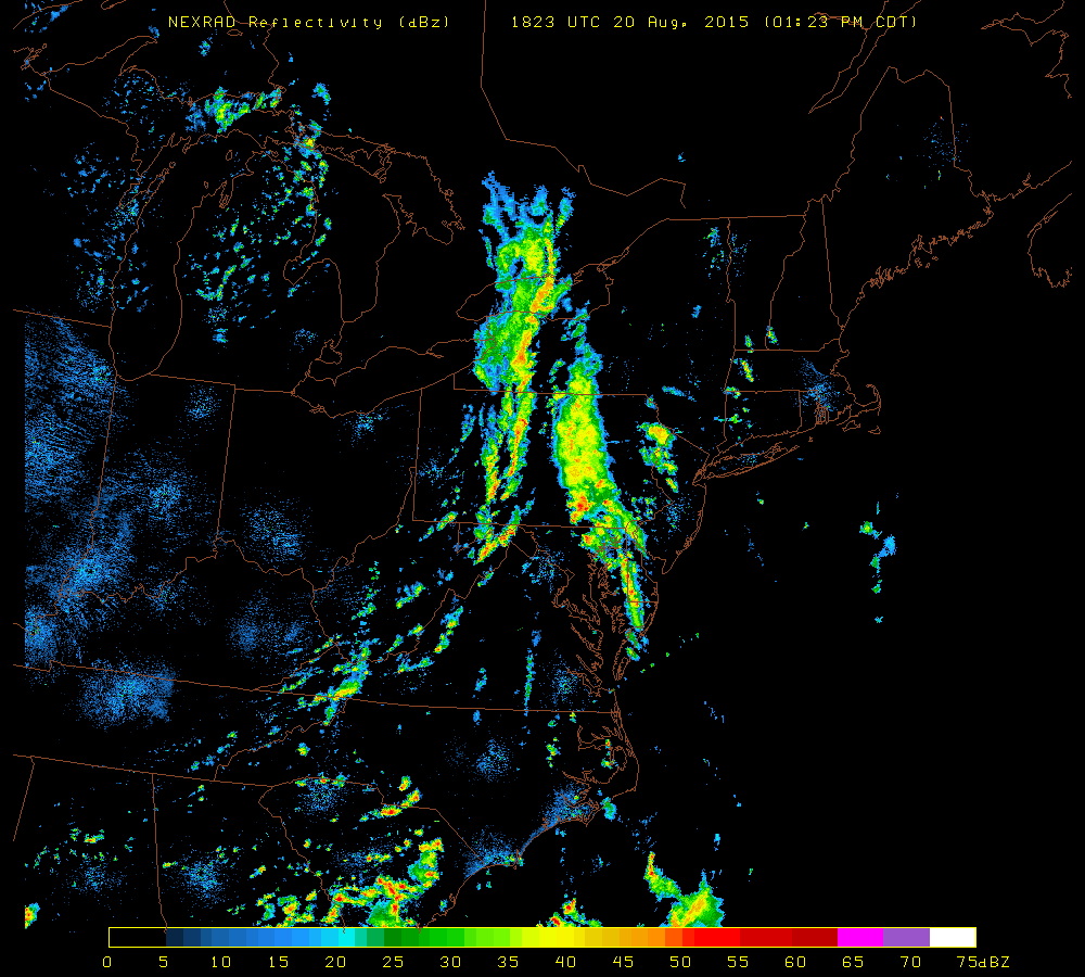 [Latest NEXRAD image of the Northeast US; courtesy University of Wisconsin]
Discussion
Waves of showers and thunderstorms associated with a slow-moving frontal system will affect the region from mid-afternoon into Friday - and the rain will be very heavy at times. The atmosphere is full of moisture and is unstable enough to produce 2+ inches of rain in many spots along the I-95 corridor with localized flash flooding over the next 24 hours or so. This front will only crawl to the east coast and, in fact, will likely continue to cause some inclement weather (clouds, lingering showers) along coastal sections on Saturday and perhaps even into Sunday. Inland sections of the Mid-Atlantic will experience some improvement with a noticeable drop in humidity levels by the weekend.