6:30 AM | **What a difference a day makes!**
Paul Dorian
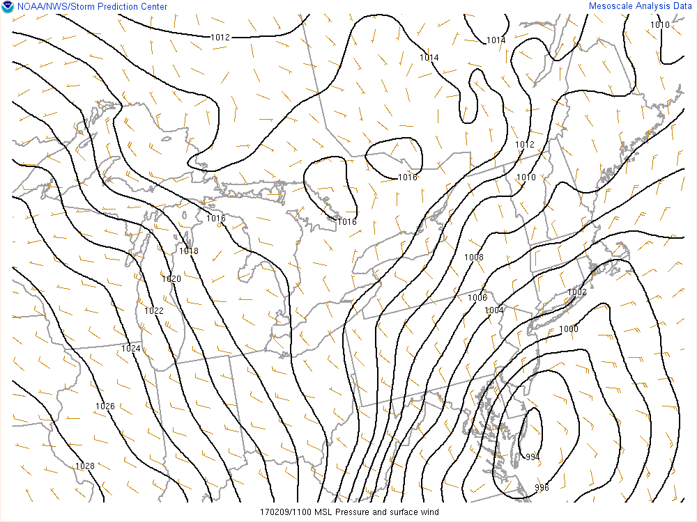
Low pressure centered at the Delmarva coastline early today
Temperatures have dropped to freezing or below in most areas and precipitation has changed to all snow throughout the Philly metro region. The snow will continue for the next few hours at varying rates with some areas getting pounded and other areas in relatively dry slots. Low pressure is now intensifying rapidly just off the Delmarva coastline and it will move rather quickly up along the coast to a position east of Massachusetts by later today. There will likely be quite a variation in snowfall amounts across the metro area with lesser amounts to the south and southwest (2-4”) and higher amounts to the north and northeast (4-8"). Winds will pick up in intensity as the day progresses and temperatures should remain at or below freezing. The steadiest, heaviest snow pulls out by late morning as the storm heads to the northeast. Travel conditions will be greatly impacted by the blowing snow this morning, but should improve during the mid-day and afternoon hours.

