11:30 AM | *Additional chances for showers and thunderstorms later today, tonight, tomorrow and tomorrow night in the Mid-Atlantic region…comfortable air mass coming for the weekend*
Paul Dorian
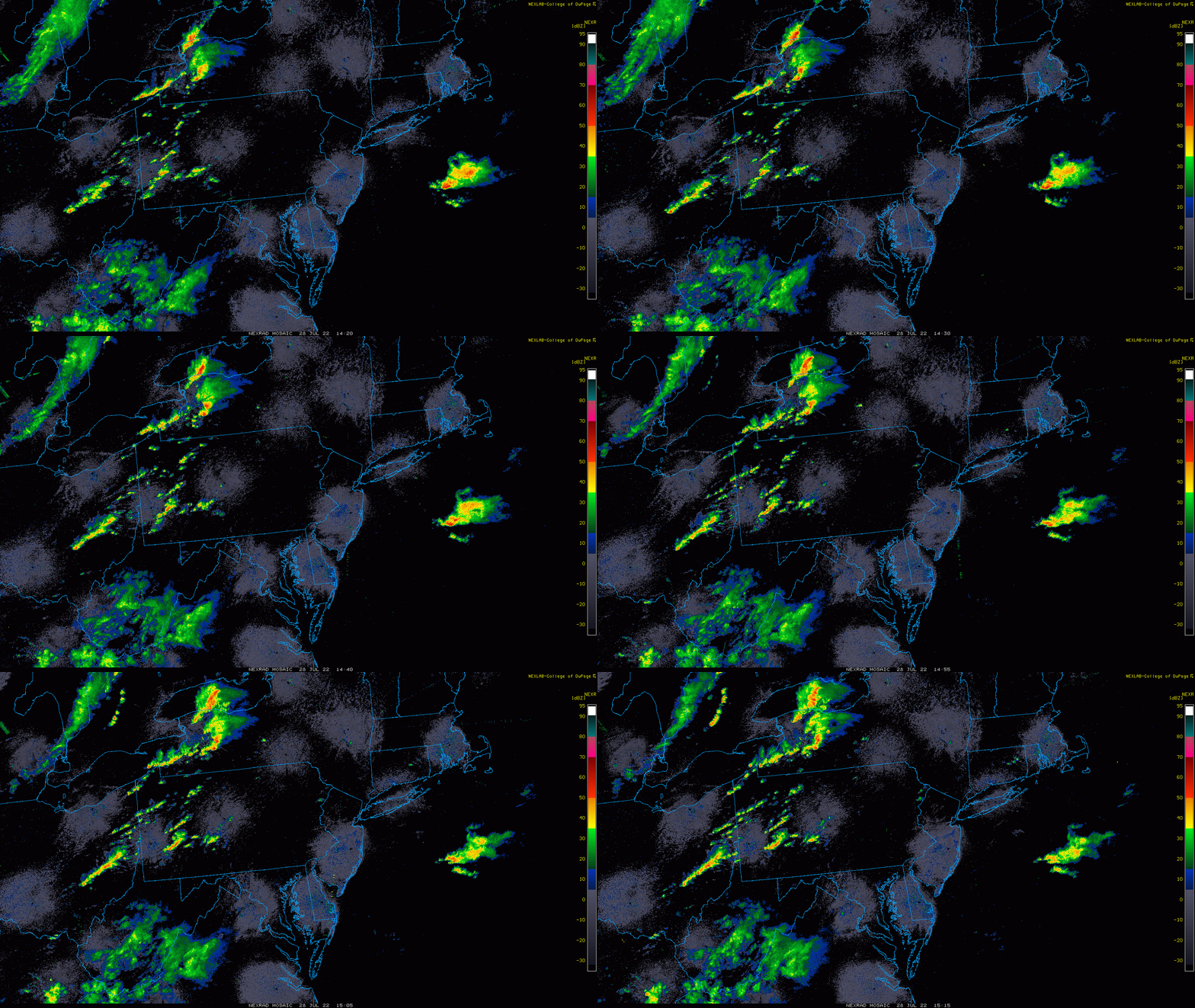
Showers and thunderstorms are popping at mid-day across the western part of the Mid-Atlantic region and they will shift to the I-95 corridor later in the afternoon. Images courtesy College of DuPage, NOAA
Overview
Scattered showers and thunderstorms passed through the Mid-Atlantic region in the overnight hours and additional chances will come from later today into tomorrow night. A warm front lifted north of the area earlier today resulting in a big jump in overall humidity and a cold front will keep it unsettled around here from tonight into tomorrow night as it slowly inches its way to the eastern seaboard. Following the front, a comfortable air mass will push into the Mid-Atlantic region for the weekend.
High-resolution version of the NAM model predicts scattered showers and thunderstorms for the I-95 corridor late in the afternoon. A threat of showers and thunderstorms will continue tonight and on Friday for the Mid-Atlantic region. Map courtesy NOAA, tropicaltidbits.com
Details
In the wake of a warm frontal passage, humidity levels have climbed noticeably in the Mid-Atlantic region and temperatures will rise to near the 90 degree mark for highs later in the day along the DC-to-Philly-to-NYC corridor. The rise in humidity along with daytime heating is adding to instability in the atmosphere and showers and thunderstorms have already broken out in western PA and West Virginia. This batch of showers and thunderstorms will work its way to the I-95 corridor later in the day and the threat of rain will continue through the evening hours. Any shower or storm that forms can produce a lot of rainfall in a short period of time.
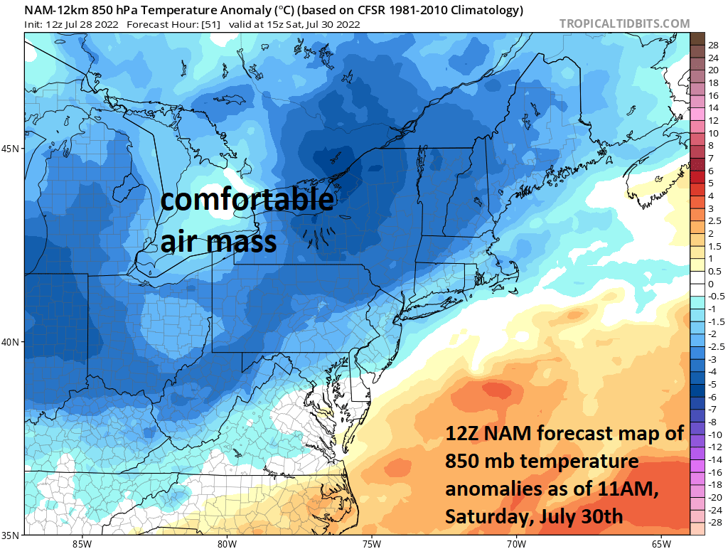
Following a frontal passage, comfortable air will push into the Mid-Atlantic region this weekend from the Great Lakes. Map courtesy NOAA, tropicaltidbits.com
On Friday, a cool front will slowly work its way through the Mid-Atlantic region and it will bring us the chance for additional showers and thunderstorms. The most likely timetable for this next threat will be during the PM hours on Friday at the most unstable part of the day. As is the case later today, any shower or storm that forms on Friday can result in some heavy rainfall amounts in a short period of time. Some of the thunderstorms later tomorrow and early tomorrow night can be on the strong-to-severe side; especially, in the region from the DC metro to southern New Jersey and including the Delmarva Peninsula.
Following the passage of the cool front, a comfortable air mass with lower humidity levels will push into the Mid-Atlantic region and both days should feature temperatures confined to the lower or middle 80’s in the I-95 corridor. The front will likely stall in the southern Mid-Atlantic region and turn around and push to the north during the first half of next week returning us to an unsettled pattern. Looking ahead, very hot weather will develop next week across the central and northern Plains and some of this heat is likely to push into the Mid-Atlantic region during the middle and latter parts of next week.
Meteorologist Paul Dorian
Arcfield
arcfieldweather.com
Follow us on Facebook, Twitter, YouTube
Video discussion:


