6:00 AM | ***One more day of spring-like warmth and a possible record-breaker...possible strong-to-severe thunderstorms later today/early tonight...much colder for Thursday and Friday***
Paul Dorian
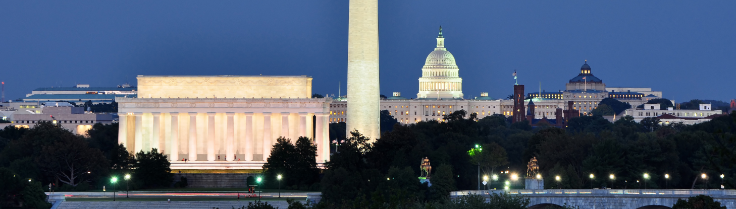
6-Day forecast for the Washington, D.C. metro region
Today
Partly sunny, becoming quite windy, warm and a possible record-breaker, chance of mid-day and early afternoon showers, a strong-to-severe thunderstorm possible alter in the afternoon, highs in the upper 70’s; S-SW winds increasing to around 10-20 mph
Tonight
Mainly cloudy with occasional showers and possibly a strong-to-severe thunderstorm, breezy and turning colder late, late night lows in the middle 40’s
Thursday
Mainly cloudy, windy, much colder, chance of rain showers and there is the chance that snowflakes mix into the picture, temperatures generally in the 40’s
Thursday Night
Gradual clearing, brisk, cold, low-to-mid 30’s for late night lows
Friday
Partly sunny, windy, chilly, low-to-mid 50’s
Saturday
Mainly sunny, cool, near 55 degrees
Sunday
Mainly cloudy, milder, near 60 degrees; showers and thunderstorms possible at night
Monday
Mainly cloudy, breezy, mild chance of rain, lower 60’s
Discussion
One more day of spring-like temperatures here at mid-week in the Mid-Atlantic region and some record highs may be set in spots as clouds increase ahead of a strong cold front. That strong cold front and a pre-frontal trough can produce showers for the mid-day and early afternoon and then strong-to-severe thunderstorms will be possible later today and early tonight. Much colder air will arrive on Thursday leading to quite a dramatic drop off in temperatures as compared with today’s potential record-breaking warmth. The chilly air will stick around on Friday and the weekend will start off on the cool side with dry conditions likely on both Friday and Saturday. Another strong cold front heads our way for the late Sunday night/Monday time frame with additional showers and thunderstorms possible. A widespread colder-than-normal air mass will then spread into the eastern states by Tuesday of next week on the heels of that next strong cold frontal system.
One final note, it looks like record high temperatures were set yesterday in D.C., Philly and New York City with DCA at 84 degrees, IAD at 85 degrees, BWI at 85 degrees, PHL at 83 degrees, and in Central Park (NYC), it was a record-breaker at 80 degrees and the earliest 80-degrees ever recorded.
Meteorologist Paul Dorian
Arcfield Weather