6:00 AM | *Next rain event comes late Thursday night into early Friday with strong cold front...quite mild for the Phillies opener on Thursday afternoon*
Paul Dorian
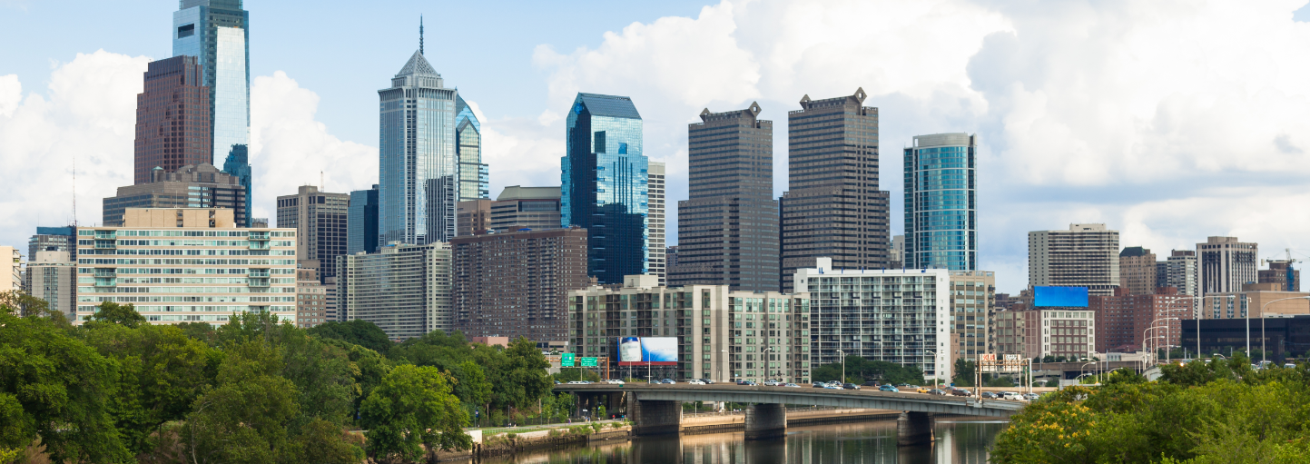
6-Day forecast for the Philadelphia, PA metro region
Today
A mix of clouds and sun, a bit milder, highs in the low-to-mid 50’s; S-SW winds around 5-10 mph
Tonight
Mainly cloudy, chilly, lows in the lower 40’s
Thursday
Opening Day! Partly sunny, becoming breezy and noticeably milder, cannot completely rule out an isolated afternoon shower, upper 60’s for afternoon highs
Thursday Night
Mainly cloudy, cool, breezy, periods of rain late, maybe a thunderstorm, near 50 degrees for late night lows
Friday
Mainly cloudy with lingering showers possible early, windy, cooler, low-to-mid 50’s
Saturday
Mainly sunny, cold, middle 40’s
Sunday
Mainly sunny, chilly, near 50 degrees
Monday
Partly sunny, milder, near 60 degrees
Discussion
It’ll turn a bit milder today in the Mid-Atlantic region and then quite mild by tomorrow afternoon with the Phillies home opener scheduled for 4:15 PM (upper 60’s). The next cold front will bring rain here from late Thursday night into early Friday – maybe a thunderstorm - and it’ll turn colder again as we head into the upcoming weekend with temperatures on Saturday topping in the middle 40’s.
Meteorologist Paul Dorian
Arcfield Weather