6:00 AM | Much improvement as we begin the new work week...turns cooler by mid-week
Paul Dorian
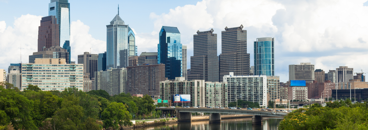
6-Day Philly Forecast
Today
Mainly sunny, warm, highs in the low-to-mid 80's
Tonight
Partly cloudy, mild, lows in the low-to-mid 60’s
Tuesday
Partly sunny, seasonably warm, chance for showers and thunderstorms, near 80 degrees
Tuesday Night
Becoming partly cloudy, turning cooler late, mid 50’s by morning
Wednesday
Partly sunny, breezy, cooler, chance for scattered showers and thundershowers, low 70’s
Thursday
Mainly sunny, pleasantly cool, low 70’s
Friday
Mainly sunny, nice, mid-to-upper 70’s
Saturday
Partly sunny, a bit warmer, upper 70’s
Discussion
The new work week will start off with noticeable improvement following the occasionally wet and unstable weather this weekend. A cool front will pass through the region later tomorrow and temperatures will then drop to below-normal levels for the mid-week time period as high pressure builds into the Mid-Atlantic region from the Northern Plains.
Meteorologist Paul Dorian
Vencore, Inc.
vencoreweather.com