2:30 PM | *Major spring snowstorm unfolding for the corridor from Denver to Minneapolis*
Paul Dorian

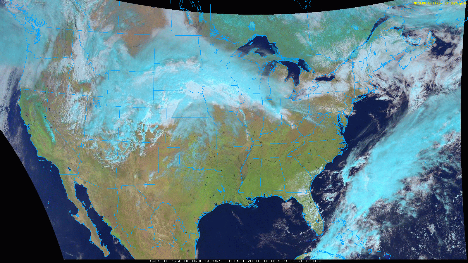
Low pressure is now beginning to undergo rapid intensification over the Rockies and the result will be a springtime blizzard over the next 24-36 hours from Denver to Minneapolis; courtesy NOAA, College of DuPage
Overview
Yesterday at this time temperatures were in the 70’s across the Denver metro region and today they’re in the 30’s, a blizzard warning is in effect and the game between the Rockies and Braves has been called off hours ahead of time. A major storm will bring a variety of impacts to the Rockies, central and northern Plains from later today into Thursday that will include heavy snowfall, whiteout conditions, and wind gusts as high as 60 mph. The bullseye region for this springtime blizzard will extend from northeastern Colorado-to-central Minnesota and some spots in this corridor can see accumulations of 1-2 feet during this upcoming event.

Low pressure at the surface will undergo rapid intensification as strong upper-level support moves overhead; courtesy NOAA/EMC, tropicaltidbits.com
Details
Very mild conditions took place yesterday in the Rockies and central Plains, but drastic temperature changes have developed today in the wake of a strong cold frontal passage. In fact, this cold blast of air into this part of the country is paving the way for a blizzard in the region between Denver and Minneapolis and some spots in between will likely receive 1-2 feet of heavy, wet snow. An upper-level trough of low pressure is working its way towards Colorado at mid-day and once it moves overhead rapid intensification of surface low pressure will take place from later today into Thursday. This unfolding storm system could become so intense that it could flirt with the all-time low pressure record for the month of April in parts of the central and northern Plains. The heaviest snow axis will extend from around Denver on the southwest side of this axis to Minneapolis on the northeast side with several inches of snow expected in these two metro regions and up to a couple of feet in between.

Total snowfall map as depicted by the 12Z GFS for the upcoming event; courtesy NOAA/EMC, tropicaltidbits.com
As the upper-level energy moves in aloft, pressure will fall rapidly at the center of the storm and it could bottom out near 980 millibars by early tonight. A very tight pressure gradient will form around this low pressure center and winds can gust to 60 mph or so in some spots over its evolution. In fact, pressure readings in some spots during this event can drop to near all-time lows for April in the central and northern Plains.
Some of the areas that have suffered with serious flooding in recent weeks will likely see rainfall initially from this developing storm before a changeover to heavy wet snow and this won’t help the overall situation. The serious flooding in Nebraska during recent weeks was caused by a combination of excessive snowfall this winter, excessive cold late in the winter season and frozen grounds that resulted in minimal soil penetration and massive runoff when the snow melting season got underway.
Meteorologist Paul Dorian
Perspecta, Inc.
perspectaweather.com
Video discussion: