8:50 AM | *Two waves of precipitation today/tonight in the DC metro region*
Paul Dorian

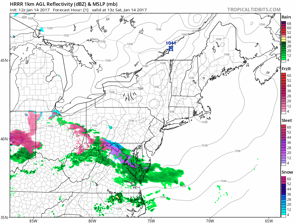
Hourly loop of precipitation type by the HRRR model; courtesy tropicaltidbits.com, NOAA
An initial burst of precipitation this morning will produce sleet in parts of the DC metro region; especially, across northern sections, as low-level temperatures have resulted in a corridor favoring this form of precipitation. Other areas will see some light rain that can freeze on untreated surfaces over the next few hours; especially, in higher elevation locations. The precipitation will then tend to slacken off or even stop completely during the mid-day and early afternoon hours and then should resume during the mid-to-late afternoon hours. By that time, the precipitation should fall mainly as liquid; however, there still can be some freezing on untreated surfaces; especially, across the northern and western suburbs of the metro region.

Surface analysis map at 8am showing location of a corridor of ice pellets; map courtesy "crankyweatherguy": Twitter
Temperatures at 8am ranged from 32 degrees in Gaithersburg, 34 at College Park to 36 at Reagan Airport. Do not be surprised to see the temperature drop a couple of degrees during the onset of this initial burst of precipitation. Also, be careful early tonight right after sunset as temperatures could drop a couple degrees and that could be significant in some sections (i.e., right around the freezing mark). The latest hourly loop of a high-resolution computer forecast model (HRRR) shows the two waves of precipitation for the DC metro region from now into tonight.
Meteorologist Paul Dorian
Vencore, Inc.
vencoreweather.com