
12:45 PM | ***Strong and complex storm system to bring wintry precipitation to the northern Mid-Atlantic region from late today into early Tuesday***
Paul Dorian

This surface forecast map comes from a high-resolution model known as the HRRR and it is valid at 9pm, Monday, February 27th. As (secondary) low pressure develops near the Mid-Atlantic coastline, colder air may push in from northwest-to-southeast and this can result in a changeover to all snow across much of southeastern PA. Map courtesy NOAA, tropicaltidbits.com
Overview
There will be some wintry precipitation from late today into mid-day Tuesday across the northern Mid-Atlantic region where such occurrences have been rather limited in recent weeks to say the least. A strong and complex storm system will feature a primary (initial) low pressure system that pushes northeastward later today into the Great Lakes and then a secondary low pressure system will develop later tonight along the Mid-Atlantic coastline. A wintry mix of rain, ice and snow is likely across the Philly metro region and snow and/or sleet will likely be the dominate precipitation types from east-central PA northeastward to southeastern New York State. Small accumulations of snow and ice are possible in the suburbs of Philadelphia where the sleet can actually come down heavy at times, moderate accumulation amounts in the Lehigh Valley and New York City, and more significant levels are likely in the higher elevations of the Poconos/northeastern PA, interior NW New Jersey, and N/W suburbs of NYC.
The initial wave of energy aloft heads into the Great Lakes and weakens and a secondary low pressure system forms this evening near the Mid-Atlantic coastline. Maps courtesy NOAA, tropicaltidbits.com
Details
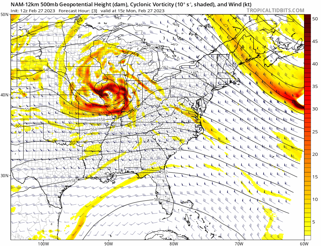
A strong low pressure system is pushing towards the Great Lakes region today and it will tend to weaken this evening as it loses some of its support in the upper part of the atmosphere. At the same time, a secondary low will form near the Mid-Atlantic coastline and it will become an important player later this evening and overnight. This overall setup favors a widespread precipitation event with the precipitation type largely dependent on location and elevation.

The total snowfall forecast by the high-resolution model known as the HRRR depicts several inches by late tonight in the higher elevation locations of Northeastern PA, interior NW New Jersey. Map courtesy NOAA, tropicaltidbits.com
An initial band of precipitation is pushing rapidly eastward at mid-day across western PA/northern West Virginia and this can bring a brief burst of rain or a wintry mix by late afternoon to the eastern part of PA. After a possible brief lull, precipitation will then fill in across the Mid-Atlantic region and continue through much of the night with a mix of sleet, rain and/or snow in the Philly metro region and snow and/or sleet will dominate from east-central PA to interior NW NJ and into the New York City area. The sleet can actually come down heavily at times during the evening hours across eastern PA.
While temperatures today have climbed into the 40’s, they should quickly drop several degrees at the onset of the precipitation early this evening through the “evaporative cooling” process given the dry nature of the entrenched air mass. Later this evening, as the Mid-Atlantic low pressure system becomes an important player, it’ll likely draw some colder air from northwest-to-southeast which can result in a change from “sleet and rain” to “sleet and snow” across portions of eastern PA and central NJ.
In terms of snow and ice accumulations in the Philly metro area, a coating to an inch or two is likely across much of Chester County, Montgomery County and Lower Bucks County with as much as 3 inches in Upper Bucks County. In the Lehigh Valley (e.g., Allentown) and in the immediate New York City metro region, 2-4 inches of snow and ice is likely by later tonight. As much as 3-6 inches of snow can fall in the Poconos/ northeastern PA, interior NW NJ, and in the northern/western suburbs of NYC. Farther to the northeast, even slightly higher amounts of 4-8 inches are possible from late tonight into mid-day Tuesday across the Lower Hudson Valley region of New York State to eastern New England (including Boston, MA). This looks like primarily a plain rain event south of the PA/MD border, across the Delmarva Peninsula, and across much of southern new Jersey. Another storm threatens the Mid-Atlantic region at week’s end and that one too can result in a wintry mix for many areas.
Meteorologist Paul Dorian
Arcfield
arcfieldweather.com
Follow us on Facebook, Twitter, YouTube
Video discussion: