
8:00 AM (Friday) | ***Tropical threat for the eastern Gulf of Mexico by later this weekend...system may slow down...La Nina revisited...a recent sharp drop in temperatures across central Pacific***
Paul Dorian

Sea surface temperatures are quite warm and well above-normal for this time of year across the eastern Gulf of Mexico. This sea surface temperature anomaly raises the chance for some rapid intensification before any potential landfall along Florida’s west coast or panhandle region. Map courtesy NOAA, tropicaltidbits.com
Overview
The Atlantic Basin tropical scene has been largely quiet during the past few weeks after the dissipation of Hurricane Beryl which reached category 5 status over the Caribbean Sea and then ultimately made landfall in Texas as a category 1 storm. There is now a strong tropical wave that is nearing Cuba and it may spill out over the eastern Gulf of Mexico by later this weekend as an intensifying storm. There are signs that at some point early next week the northward progression of this system may be stymied, and a stalling or even a “looping” storm track is on the table. This possibility could lead to some very heavy rainfall amounts in certain locations…a prospect to monitor closely next few days. In fact, we may be dealing with this tropical storm system as late as at the end of next week or weekend somewhere up along the eastern seaboard.
One of the contributing factors to what should be an active next couple of months in the tropical Atlantic Ocean is the strengthening of La Nina across the equatorial Pacific Ocean. Sea surface temperatures in that part of the world’s largest ocean have dropped quite sharply during the past week or so suggesting La Nina may indeed be an important (and favorable) factor for development and intensification of tropical storm systems in the Atlantic Basin during the second half of the tropical season.

Hurricane Beryl reached a peak as a category 5 storm early in the month of July and after its demise, there was an extended quiet period across the Atlantic Basin. Plot courtesy Wikipedia
Tropical threat
Hurricane Beryl reached category 5 status early in July while over the warm waters of the eastern Caribbean Sea and then weakened somewhat as it reached the Yucatan Peninsula region of Mexico a few days later. After crossing the Yucatan, Beryl regained some strength over the very warm waters of the southwestern Gulf of Mexico and changed direction from “west-northwest” to “northwest”. This change in direction resulted in a landfall near Matagorda, Texas on July 8th as a category 1 hurricane. Since then, the Atlantic Basin has been quiet until a rather large tropical wave began to take shape several days ago over the central tropical Atlantic Ocean.

A teleconnection index known as the Madden-Julian Oscillation or MJO is moving through what is referred to as “Phase 1” during the next week or so (top plot). This particular “phase” often correlates with lower-than-normal sea surface pressure over the Gulf of Mexico region during this time of year (circled area in blue, bottom plot) and gives us a clue the eastern Gulf may indeed a point of tropical activity. Maps courtesy NOAA
This tropical system is now nearing the island of Cuba and it is likely to cross this land mass during the next couple of days. By the weekend, this system should spill out over the abnormally warm waters of the eastern Gulf of Mexico large and potentially threaten the west coast or panhandle regions of Florida by later in the weekend. One concern is that teleconnection indices such as the Madden-Julian Oscillation (or MJO) suggest that “late in the game” significant intensification of this system is on the table as it potentially treks over the warmer-than-normal eastern Gulf of Mexico (always a concern when a tropical system undergoes rapid intensification just before landfall).

The Pacific Ocean is divided into different sub-sections by meteorologists in order to pinpoint specific areas when referring to El Nino/La Nino temperature patterns. The last seven days or so has featured a sharp drop in temperatures across the central Pacific (see below) which is referred to as “3.4”. Plot courtesy Wikipedia

Temperatures have dropped sharply across the central part of the Pacific Ocean (Nino 3.4) in recent days suggesting a strengthening of La Nina which is usually favorable for tropical activity in the Atlantic Basin. Plot courtesy Levi Cowan (tropicaltidbits.com)
A couple of key players in the upper atmosphere to watch for in coming days will be a trough of low pressure that drops into the Ohio Valley during the weekend and then high pressure ridging that is likely to build in the eastern states early next week. The trough could have an impact on the path of the tropical system over the eastern Gulf of Mexico this weekend and the building ridge to follow could be a catalyst for the system to slow down, stall out, or even “loop” around during the early or middle parts of next week which potentially could lead to very heavy rainfall amounts in certain areas. In fact, we may be dealing with this tropical storm system as late as at the end of next week or subsequent weekend somewhere farther north up along the eastern seaboard.

Two upper-level systems to monitor in coming days will be a trough of low pressure that is likely to be situated over the Ohio Valley by later this weekend (left forecast map). This initial system can have an influence on the path of the potential tropical storm while it is over the eastern Gulf of Mexico. The second feature will be a ridge of high pressure that will build across the eastern states (and actually can “surround” the tropical system, right forecast map). As such, there is a chance the forward motion of the tropical storm comes to a halt next week and this could lead to some very heavy rainfall amounts in certain areas.. Indeed, we could be dealing with this tropical system as late as at the end of next week somewhere farther north up along the eastern seaboard. Maps courtesy NOAA, tropicaltidbits.com
La Nina revisited
After a relatively quiet stretch in the Atlantic Basin during July, this latest tropical system may be just the start of an active next couple of months. La Nina conditions are now intensifying in the central part of the tropical Pacific Ocean and this is usually a favorable factor for tropical activity in the Atlantic Basin. With colder-than-normal sea surface temperatures in the equatorial part of the Pacific Ocean, wind shear is often lower in the tropical Atlantic and this generally results in above-normal activity. Sea surface temperatures have actually dropped pretty sharply during the past week or so in the central Pacific and all indications are that La Nina will continue to intensify during the next several weeks…stay tuned.
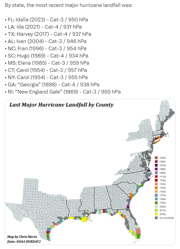
This map displays the last major hurricane landfall on a county-by-county basis along the US east and Gulf coasts. Map provided by Chris Martz (X), NOAA
Meteorologist Paul Dorian
Arcfield
arcfieldweather.com
Follow us on Facebook, Twitter, YouTube
Video discussion: