10:50 AM | *Sunday update: Hermine has shifted east and coastal New Jersey will be spared the worst*
Paul Dorian
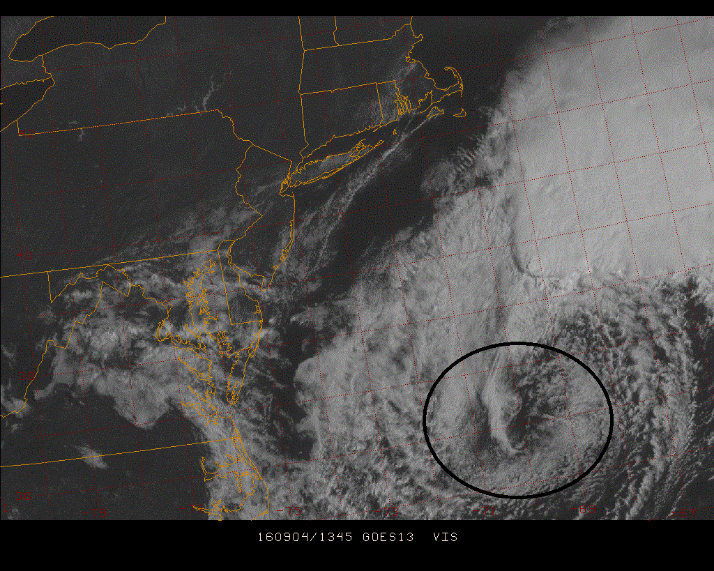
Sunday morning visible satellite image of Hermine (center in circled area)
Sunday Update
Good news this morning as far as Hermine is concerned...Hermine continued to move eastward in the overnight hours and it is now quite a bit off the Mid-Atlantic coastline with maximum sustained winds at 65 mph near the center. Hermine is classified as a “post-tropical” system and should undergo some intensification tonight and Monday as it turns northward and then northwestward and also slows down. Hermine’s main impact on the New Jersey coastline won’t come until late tonight and Monday as it makes its closest approach although the surf is already rough. After that, Hermine may meander off the Mid-Atlantic for another day or two before turning northeast again. The overnight shift to the east in the center of the system has dramatically lessened the chances for rain and wind in the Philly metro region, DC is in the clear, and the chances of a loop back to an inland position have all but disappeared. All eyes along the Mid-Atlantic coastline should continue to closely monitor this system over the next couple of days.

