2:15 PM | *All systems are go for significant rain event in the I-95 corridor*
Paul Dorian
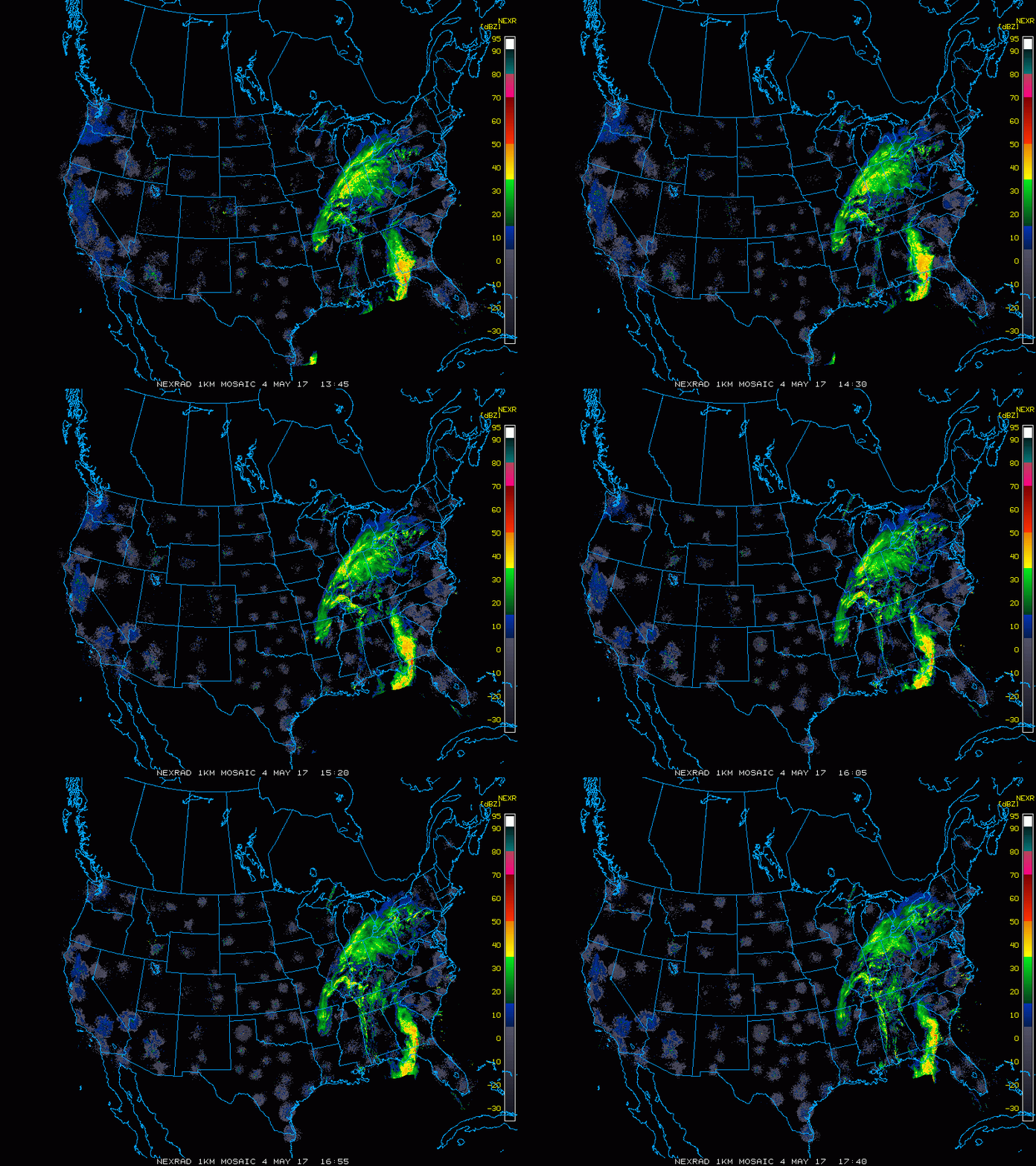
Latest national radar loop; courtesy College of DuPage/NOAA
All systems are go for a significant rain event in the DC-to-Philly-to-NYC corridor from late tonight into late Friday and it could even have a negative impact on the morning commute as heavy rain will be in much of the area at that particular time along with possible strong thunderstorms. Low pressure is now forming over the Tennessee Valley and it will strengthen over the next 24 hours as it pushes northward along the western side of the Appalachian Mountains.
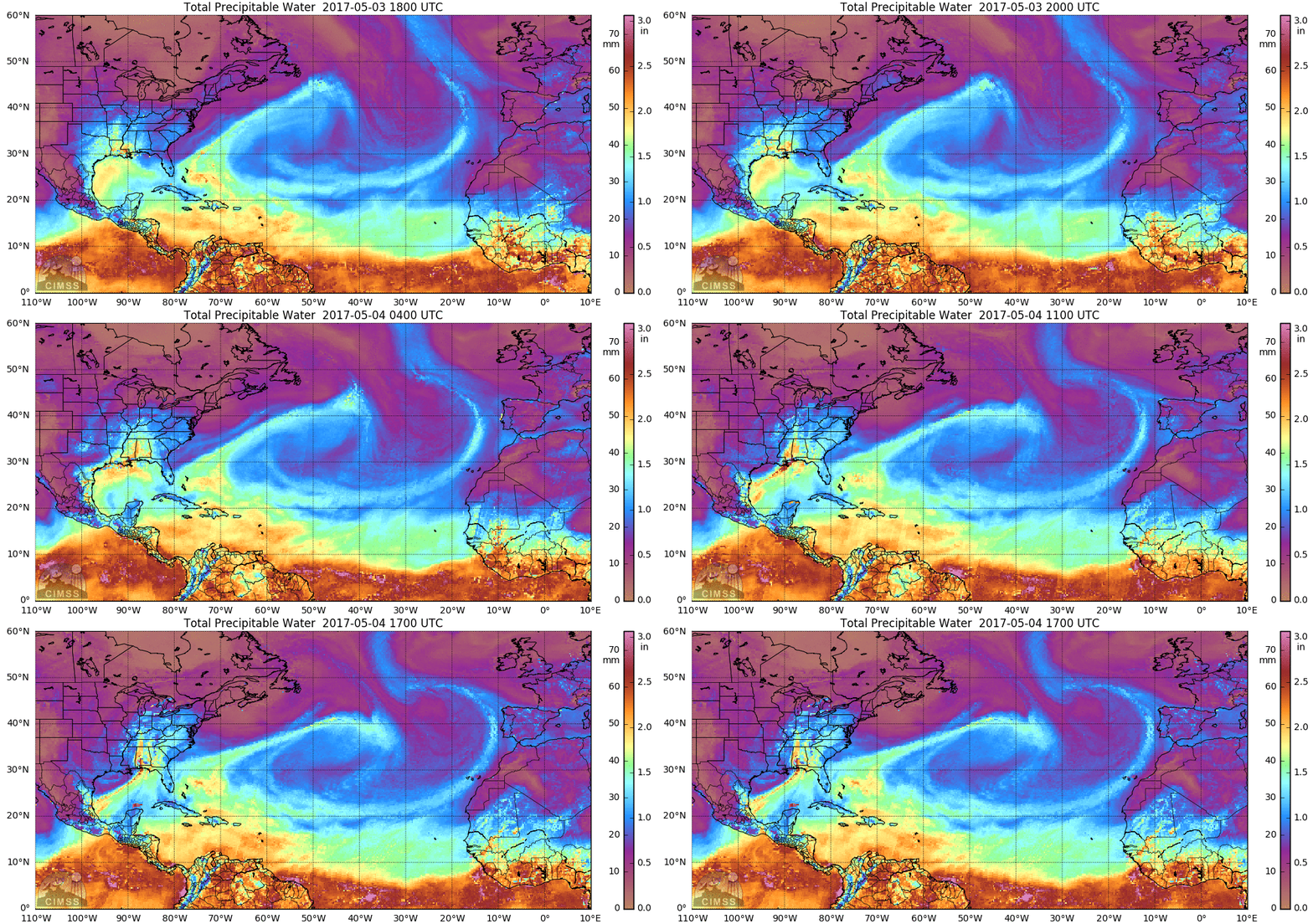
The latest loop of "total precipitable water" which shows an impressive influx of moisture from the Gulf of Mexico into the eastern US; courtesy University of Wisconsin
Rain should overspread the I-95 corridor later tonight and continue heavy at times into Friday and there can be up to a couple inches of total rainfall in some spots by late tomorrow with street flooding likely in many areas. From its expected position to the west of Route I-95 early tomorrow, this strong low pressure system will try to push warmer air up the eastern seaboard and this will likely help to generate some strong to possibly severe thunderstorm activity in the Mid-Atlantic region later tonight and Friday.
12Z high-resolution (3-km) NAM hourly precipitation forecast maps from early tonight until early Saturday night (forecast hour 12 to forecast hour 60); courtesy tropicaltidbits.com, NOAA/EMC
The latest radar and water vapor loops are quite ominous for the Mid-Atlantic region as there is an abundance of moisture riding north out of the Gulf of Mexico into the eastern US and heavy showers and thunderstorms have already formed in the southeastern states. The steadiest and heaviest rain for the I-95 corridor will likely take place from late tonight into the mid-day hours on Friday; however, showers and even strong thunderstorms can occur tomorrow afternoon and evening. In fact, the high-resolution (3-km) version of the NAM computer forecast model features numerous bands of showers and storms from late tonight right into the early part of the weekend. Colder-than-normal air pushes in this weekend following the passage of a strong cold front and thanks to the formation of a classic “omega”-shaped blocking pattern in the upper atmosphere, it will stay colder-than-normal for several days. Look for low temperatures in the 30's in many suburban locations early next week along the I-95 corridor - well below normal for this time of year.
Meteorologist Paul Dorian
Vencore, Inc.
vencoreweather.com


