12:05 PM | *Very strong wind gusts from late tonight into Wednesday afternoon as pressure gradient increases*
Paul Dorian

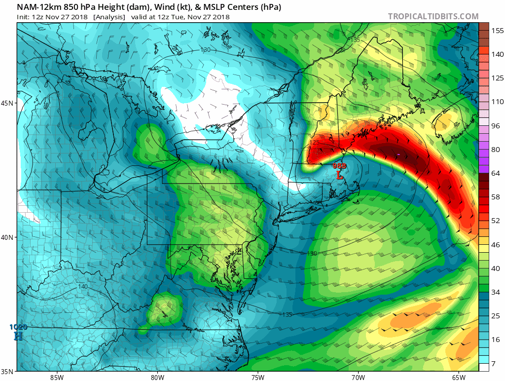
12Z NAM forecast maps of 850 mb winds during the next 36 hours. The winds increase in this time period and reach a peak late tonight/early Wednesday as the overall pressure gradient tightens. Courtesy NOAA/EMC, tropicaltidbits.com
Overview
Low pressure will intensify near southern Maine over the next 24 hours or so and make a jog back to the south and west at the same time high pressure builds into the Ohio Valley. The combination of the intensifying low pressure over Maine and approaching high pressure over the Ohio Valley will help to increase the pressure gradient over the Northeast US/Mid-Atlantic region and this may result in damaging wind gusts tomorrow of up to 50 mph in some spots.

Winds could gust to 50 mph in some areas of the Mid-Atlantic from late tonight into Wednesday afternoon as the pressure gradient tightens between low pressure over Maine and high pressure over the Ohio Valley; courtesy NOAA/EMC, tropicaltidbits.com
Details
The low pressure system that generated a soaking rainfall in the Mid-Atlantic region on Monday has pushed into New England, but it will have trouble advancing much farther to the north and east. In fact, this low pressure center will tend to retrograde over the next 12-24 hours and intensify slightly and, at the same time, there will be an expanding high pressure system over the Ohio Valley. As a result, winds will actually increase in strength later tonight and early Wednesday as the pressure gradient field tightens between the high and low. Winds should easily gust past 40 mph in the DC-to-Philly-to-NYC corridor from late tonight into Wednesday afternoon with an outside shot to reach 50 mph. The overall pressure gradient will begin to relax on Wednesday night and continue to weaken on Thursday as the high pressure system pushes east and this will cause a reduction in wind speed in the Mid-Atlantic region.
Meteorologist Paul Dorian
Perspecta, Inc.
perspectaweather.com