10:30 AM (Sunday) | ***An extended and significant winter weather event with snow and ice***
Paul Dorian

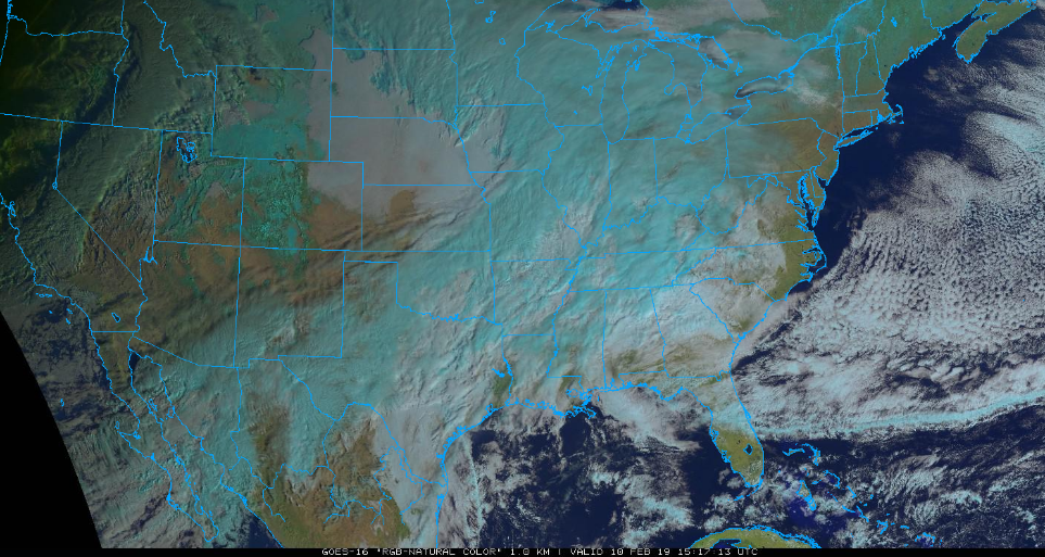
Lots of clouds and moisture on the latest GOES-16 satellite image (“natural” color) across the south-central US - and headed towards the Mid-Atlantic; courtesy NOAA, College of DuPage
Overview
A couple of systems will bring an extended wintry weather event to the Mid-Atlantic region resulting in significant snow and/or ice. The first system will generate precipitation in the region from later this evening into early Monday morning and, with little down time in between, a second and stronger system will bring heavier precipitation amounts from later tomorrow into late Tuesday. Given the expected combination of snow and ice and very cold ground-level conditions, travel may become hazardous for commutes on both Monday and Tuesday in much of the region.

Surface forecast map for late tonight with mainly snow (blue) north of the PA/MD border and ice (purple/pink) to the south of there; courtesy NOAA/EMC, tropicaltidbits.com
Details
A major player in this upcoming extended and significant winter weather event will be strong Arctic high pressure building over southeastern Canada. This system will strengthen over the next couple days and will funnel cold air into the Northeast US/Mid-Atlantic region during this event. As a result, ground-level temperatures will have much difficulty rising above the freezing mark in many of the northern and western suburbs along the I-95 corridor which raises the chance for significant icing (and snow) in some areas.
The first event should bring precipitation to the DC-to-Philly corridor from later this evening into early Monday with New York City likely on the very northern fringes of the precipitation field. In Philly, snow should break out between 8 and 12 AM and continue into the overnight hours with the possibility of some sleet mixing in well after midnight…accumulations expected generally on the order of 1-3 inches by early tomorrow with a possible bit of ice mixed in as well. In DC, a mix of snow and sleet is likely to develop between 6 and 10 PM and a wintry mix is likely to continue into the overnight hours with accumulations of snow and ice on the order of a coating to an inch or two. Monday morning commutes in both the DC and Philly metro regions can certainly be impacted by the overnight snow (Philly) or snow and ice (DC).

Surface forecast map for late tomorrow night with mainly snow (blue) north of the PA/MD border and ice (purple/pink) to the south of there; courtesy NOAA/EMC, tropicaltidbits.com
After a possible brief lull in precipitation during the mid-day hours, Round 2 in this extended winter weather event will get underway later in the day on Monday and continue well into the day on Tuesday. The second event could result in a few-to-several inches of snow accumulation on the front-end (i.e., Monday night/early Tuesday) in areas north of the PA/MD border (e.g., Philly, NYC metro regions) before a changeover to sleet and freezing rain. Ultimately, the precipitation should end up as plain rain on Tuesday as warmer air pushes northward along the eastern seaboard – at least in the upper part of the atmosphere.
In the DC metro region, the second event could result in some additional snow and potential significant icing during the period from Monday night into early Tuesday; especially, in the northern and western suburbs. Ultimately, the precipitation should end up as plain rain there on Tuesday as temperatures climb above freezing. Temperatures in all areas may then drop back some on Tuesday night as the event winds down with a possible brief change back from rain to snow and/or sleet.
Bottom line…quite a wintry mess to start the new work week.
Meteorologist Paul Dorian
Perspecta, Inc.
perspectaweather.com