12:00 PM (Friday) | ***Snow hanging around today across eastern PA, New Jersey, NYC***
Paul Dorian

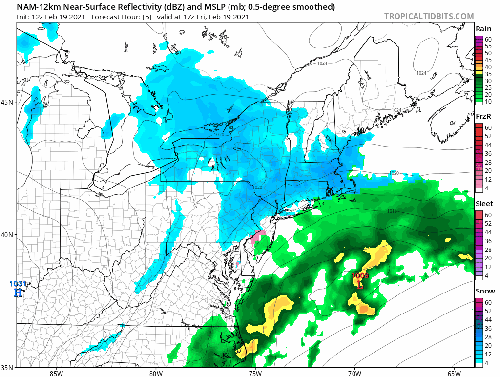
Snow will be reluctant to go away today across eastern PA, New Jersey and New York City with additional small accumulations possible to add to yesterday’s totals. Maps courtesy NOAA, tropicaltidbits.com
Overview
In another long duration winter storm event, snow will tend to hang on today across eastern Pennsylvania, New Jersey and New York City and there can be small accumulations adding onto yesterday’s totals. A stretched-out wave of energy aloft is grinding its way to the east coast and it is generating enough lift in the atmosphere to produce snow in this part of the northern Mid-Atlantic region. High pressure takes back control this weekend, but it’ll remain on the cold side and the breeze will pick up noticeably.

A “stretched-out” area of vorticity aloft is contributing today to some snow across eastern parts of the northern Mid-Atlantic region. Map courtesy NOAA, tropicaltidbits.com
Details
The winter storm that began late Wednesday night/early Thursday in the Mid-Atlantic is not quite done with us yet. One wave of energy contributed to heavy precipitation amounts early yesterday along with strong warm advection and another “stretched-out” piece of energy is pushing towards the east coast at mid-day. At the same time, colder air is filtering from the north and any mixed precipitation from earlier today is changing to snow and the snow can for a few more hours across eastern Pennsylvania and into the early evening in New Jersey and New York City.

Snow mass continues to increase across the Northern Hemisphere and it is now at well above normal levels for this time of year. Map courtesy Finnish Meteorological Institute
In terms of snowfall amounts, a coating to an inch or so is possible over the next few hours in the Philly metro region and 1-3 inches of additional accumulation is possible in east-central/northeastern PA, New Jersey and New York City. The snow will finally pull away from the east coast early tonight and high pressure will build into the region on Saturday. The weekend will start off quite cold and a NW breeze will become quite noticeable throughout the region. Looking ahead, another low pressure system is likely to impact the Mid-Atlantic region on Monday with snow or a combination of snow and rain and another system will be monitored next week as it could impact the area by week’s end…winter may tend to hang around a bit longer than many would want.
Meteorologist Paul Dorian
Perspecta, Inc.
perspectaweather.com
Follow us on Facebook, Twitter, YouTube
Video discussion: