
9:45 AM | ****Unsettled weather pattern and the threat of heavy rain continues in the Mid-Atlantic region…potent system on Sunday to extend chances for heavy rainfall****
Paul Dorian

There is the chance for heavy rainfall in the Mid-Atlantic region from later today into Saturday and the chance will be extended on Sunday as a potent upper-level system drops southeast from Canada to the Mid-Atlantic region. This next upper-level system may take on a “negative” tilt which would enhance upward motion in the Mid-Atlantic region and raise the chances for severe thunderstorms on Sunday in addition to the heavy rain. Map courtesy NOAA, tropicaltidbits.com
Overview
The combination of high low-level moisture content and a couple of frontal systems will keep the atmosphere very unstable in the Mid-Atlantic region for the next few days. Any shower or thunderstorm that develops from later today into Saturday can produce heavy rainfall amounts given the high moisture levels and the expected slow movement due to an overall weak wind field and little steering flow. A potent system is likely to drop southeast on Sunday from the Great Lakes to the Mid-Atlantic region and this next system is likely to extend the chances for heavy rainfall and bring about a chance for severe thunderstorms as well.
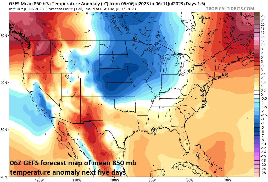
One of the reasons for a continuation of the active weather pattern in the eastern half of the nation is the fact that cooler-than-normal air masses continue to drop into the US from Canada. This kind of pattern generates a “battle zone” region in the US with the cooler-than-normal air to the north and west and warmer-than-normal air to the south and east. Map courtesy NOAA, tropicaltidbits.com
Details
The overall weather pattern has been quite active in the Mid-Atlantic region in recent days and the next several days are likely to remain so. A couple of frontal systems will combine with high moisture content in the lower levels of the atmosphere to keep it unsettled from later today into Saturday. The overall wind field and steering flow are rather weak in the Mid-Atlantic region and this suggests that any shower or thunderstorm that forms during the next few days will be slow-moving raising the chance for significant rainfall amounts in localized areas.

This 00Z GFS forecast map of total precipitation amounts during the next ten days suggests the active weather pattern for the eastern 2/3rds of the nation has a ways to go before coming to an end. Map courtesy NOAA, tropicaltidbits.com
The chance for additional heavy rainfall may actually extend through the second half of the weekend as a potent system drops southeast from Canada on Sunday across the Great Lakes and ultimately into the Mid-Atlantic region. This upper-level system may take on a “negatively-tilted” trough axis (i.e., axis takes on a northwest-to-southeast orientation) on Sunday and this would increase upward motion in the Mid-Atlantic region. As a result of the expected strong upward motion and continuation of high moisture content, the atmosphere may become primed to deliver more heavy rainfall and potentially severe thunderstorms by later Sunday into Sunday night in the Mid-Atlantic region. This threat of rain and thunderstorm activity late in the weekend can continue into Monday and then there may be a break in the action come Tuesday and Wednesday of next week.
Meteorologist Paul Dorian
Arcfield
arcfieldweather.com
Follow us on Facebook, Twitter, YouTube
Video discussion: