
Tues. PM - ***Risk of strong-to-severe thunderstorms from later this afternoon into late tonight across the Mid-Atlantic...torrential rain/flash flooding, damaging wind gusts again on the table***
Paul Dorian

A strong disturbance in the upper part of the atmosphere will help enhance upward motion today across the DC-to-Philly-to-NYC corridor leading to a high risk of strong-to-severe thunderstorms. The surface cold front will hang up for awhile early Wednesday; hence, there can be lingering showers and thunderstorms tomorrow morning along the immediate I-95 corridor and points from there to the coastal sections of NJ and the Delmarva Peninsula. Map courtesy NOAA, tropcialtidbits.com
Overview
There were strong-to-severe thunderstorms yesterday afternoon and last night across portions of the Mid-Atlantic region and there can be a repeat performance later today and tonight across an even more widespread area. The combination of an incoming surface cold front, strong and intensifying upper-level support, increasing wind shear, and an entrenched warm and extremely humid air mass will help to destabilize the atmosphere this afternoon. Showers and thunderstorms should increase in coverage and intensity during the mid-day and early afternoon hours across central and western sections of the Mid-Atlantic and then these storms will trek to the east and likely reach the DC-to-Philly-to-NYC corridor during the mid-to-late afternoon/early evening hours (2-9pm timetable). Some of the storms are likely to reach strong-to-severe levels producing torrential rainfall/flash flooding, and potentially damaging wind gusts. The frontal system will hang up for awhile on Wednesday morning near the east coast and there can be lingering showers and thunderstorms along the immediate I-95 corridor and points from there to the coastal sections of New Jersey and the Delmarva Peninsula.

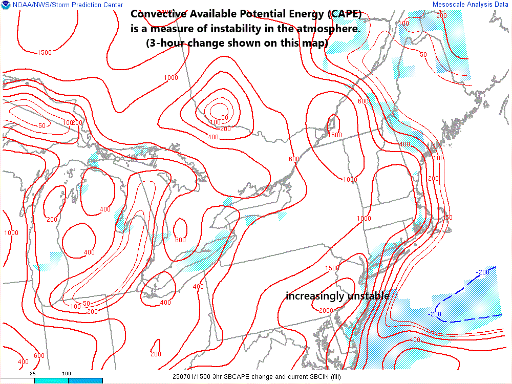
NOAA’s Storm Prediction Center has placed the Mid-Atlantic’s I-95 corridor region in a “slight” risk zone (yellow) for severe thunderstorm activity late today and tonight. Map courtesy NOAA/SPC
Details
There were drenching thunderstorms late yesterday and last night across much of Delaware, Pennsylvania, New Jersey and portions of northeastern Maryland. This same region experienced some damaging winds as well with numerous storm reports by NOAA’s Storm Prediction Center citing downed limbs and trees, and an isolated tornado was reported in southeastern Delaware (Sussex County). The threat of showers and strong-to-severe thunderstorms will be on the increase again from later this afternoon into the late-night hours…and this time the entire Mid-Atlantic region will be in the risk zone.
The atmosphere will destabilize during the mid-day and afternoon hours as an upper-level trough moves eastward from the Great Lakes/Ohio Valley to the Appalachians by the mid-evening hours. At the same time, a surface cold front will progress from northwest-to-southeast into the Mid-Atlantic region, and it’ll encounter a well-entrenched warm and extremely humid air mass (dew points well up in the 70’s). This set of ingredients will combine with increasing deep-layer wind shear and support the organization of thunderstorms into multiple lines/clusters from later today into late tonight.

The forecast by a high-resolution model (NAM-3km) suggests there will be numerous showers and thunderstorms by early this evening extending from upstate PA/NYC to central Virginia. Map courtesy NOAA, tropicaltidbits.com
As was the case on Monday, many of the thunderstorms that form today will be slow-movers and there may be training as well meaning more than one thunderstorm can move over the same given location. Given this combination of slow-movement and training of thunderstorms along with an extremely humid air mass and well saturated grounds, and you have a recipe for some serious flash flooding in much of the Mid-Atlantic region.
In addition to the threat of torrential rainfall and flash-flooding, damaging wind gusts are on the table which can develop in “downbursts” from individual thunderstorm cells. The threat of showers and thunderstorms will continue into the late-night hours from the I-95 corridor region to the coastal sections of New Jersey and the Delmarva and there can even be some lingering rain (including additional downpours) on Wednesday morning as the surface cold front hangs up for awhile along the eastern seaboard.

There were numerous damaging wind reports on Monday (blue markers) across the Mid-Atlantic region and one tornado (red marker, southeastern DE). Map courtesy NOAA/SPC
The front finally pushes away later tomorrow and the next system to watch will be a strong upper-level low positioned near the Hudson Bay region of Canada on Thursday morning. This potent system will drop southeastward towards the Northeast US and help to drag another cold front across the northeastern states late Thursday. There can be some shower and thunderstorm activity associated with this next front late Thursday/Thursday night and potentially some strong storms from northeastern PA to New England. That next front should clear the east coast by early Friday setting the stage for a nice 4th of July across the Mid-Atlantic region featuring plenty of sunshine, lower humidity, and comfortably warm conditions.
Meteorologist Paul Dorian
Arcfield
arcfieldweather.com
Follow us on Facebook, Twitter, YouTube
Video discussion: