2:35 PM | **Next week’s Arctic blast could be significantly colder…also, multiple snow chances**
Paul Dorian

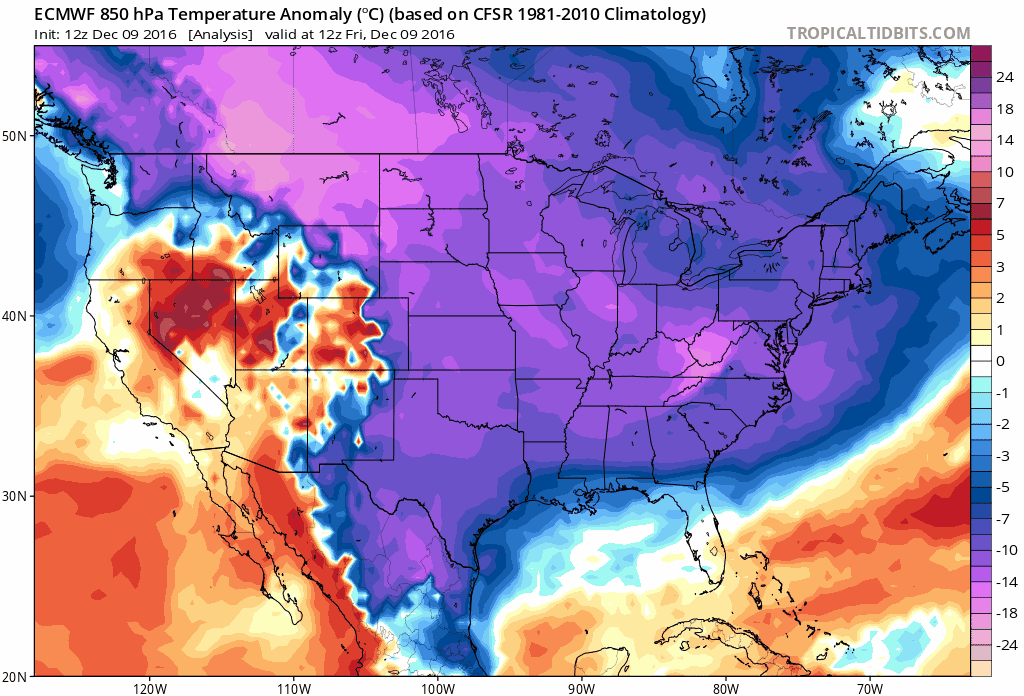
12Z Euro 850 mb temperature anomaly loop from today through next Friday, December 16th; maps courtesy tropicaltidbits.com
The coldest air mass of the season so far in the Mid-Atlantic region is keeping temperatures confined to the 30’s which is well below normal for this time of year and strong NW winds are creating even lower wind chills. This air mass is apparently just a teaser. There are signs that another Arctic blast will occur later next week and it looks even colder – maybe significantly so. In addition to the Arctic air masses, there are likely to be two or three snow threats next week. The first system could bring some snow to areas north of the PA/MD border late Sunday/Sunday night on the order of a coating to an inch or two and there can also be some freezing rain involved with this event. The second threat could bring some snow to the Mid-Atlantic region late Wednesday as the next Arctic cold front approaches. After that, there may be a third threat during the weekend of the 17th/18th as the late week Arctic blast begins to retreat.
The 12Z Euro 850 mb temperature anomaly loop from today through next Friday shows well the movement across the US of the next Arctic air outbreak. It arrives during the mid-to late week time period in this region and by Friday, the Northeast US could be very cold.
One final note, don't be surprised if you hear the phrase "polar vortex" again over the next few days which was popular in the media a couple of winters ago. There is nothing new regarding the "polar vortex". It is a naturally-occurring upper-level low pressure area that normally sits near or over the poles during the winter seasons with dense, cold air underneath. The "polar vortex" can expand, shift, or even split into multiple vortices and when that happens the cold, dense air can be displaced from the pole to lower latitudes. Nothing to panic about, just prepare for the cold.
Many more details in this afternoon’s video discussion.
Meteorologist Paul Dorian
Vencore, Inc.
vencoreweather.com