2:10 PM | *Cold is definite...snow is less certain, but on the table (twice)*
Paul Dorian

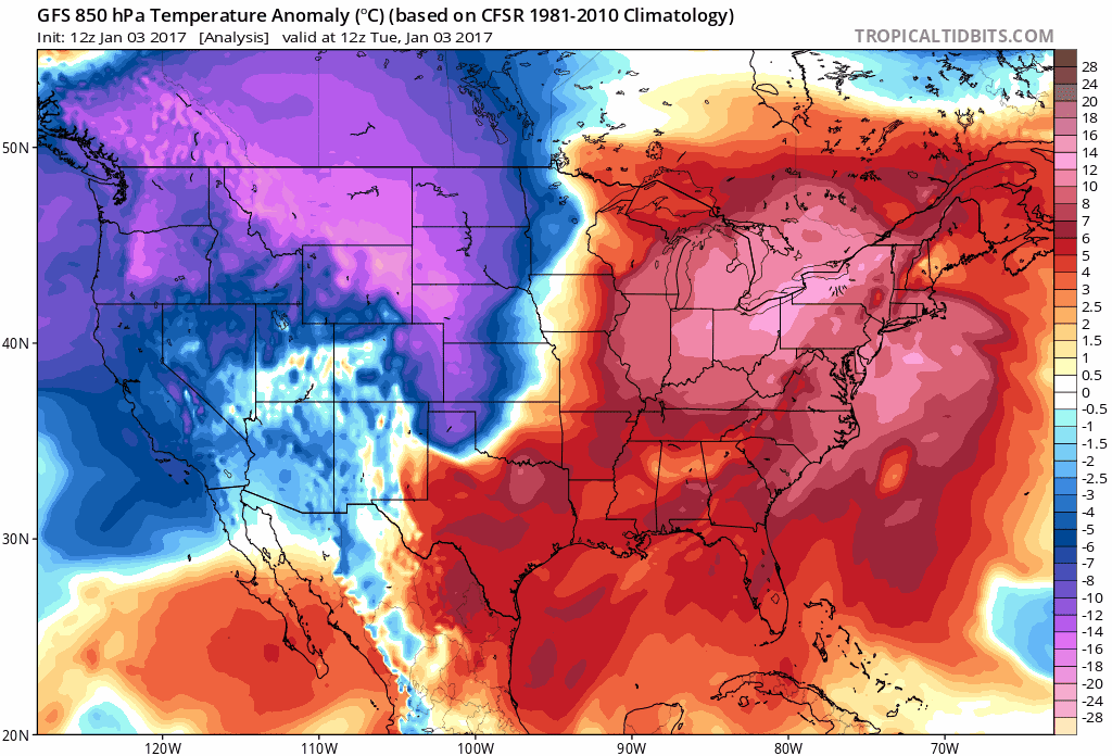
Lower atmosphere temperature anomaly loop from today to early Saturday in 6-hour increments based on 12Z GFS operational model run; maps courtesy tropicaltidbits.com, NOAA
Overview
If the first week of the new year is going to be any indication as to how active the weather will be in 2017 then we are going to have some very interesting times ahead of us. A major blast of Arctic air will arrive here later tomorrow and it’ll be very cold from tomorrow night through Monday in the I-95 corridor with temperatures having a hard time to break above the freezing mark for highs. In addition to this cold blast that is sweeping across the nation, there will be a couple of snow threats over the next several days. The first chance for snow in the I-95 corridor will come Thursday night/early Friday from an initial wave of low pressure that will intensify near the east coast and then the second and more impressive threat comes this weekend as another wave of low pressure will strengthen near east coast. Both of these threats currently favor areas to the south and east of the DC-Philly-to-NYC corridor for the best chance of accumulating snow; however, there is plenty of time for a slight shift to the N and W which would make it quite interesting around here.

48-hour forecast of the 500 mb vorticity pattern as of Thursday morning using 12Z GFS model data; map courtesy tropicaltidbits.com, NOAA
The cold wave
The front edge of very cold Arctic air will arrive here tomorrow and Wednesday should be the last warmer-than-normal day until later next week. Temperatures ahead of the front on Wednesday could reach the 50 degree mark in the I-95 corridor, but will drop sharply tomorrow night. High temperatures from Thursday to Monday will then have a hard time pushing above freezing and nighttime lows could reach the teens in much of the Mid-Atlantic region. As has been the case this winter so far, there will likely be a rebound in temperatures later next week to above normal levels once again before yet another cold blast arrives.

12Z GFS forecast map for Friday morning (snow in blue); map courtesy tropicaltidbits.com, NOAA
Snow threats
Two waves of upper-level energy will play key roles in our weather over the next few days and these are forecasted to be “strung out” from west-to-east by the time Thursday morning rolls around (see forecast map). In general, this is not classic positioning of the upper-level waves for Mid-Atlantic snowstorms as it tends to allow for less time for phasing with northern stream energy and intensification close to the coast. Nonetheless, there is reason to believe that two separate low pressure systems will form near the coastline over the next several days.
The first low pressure area will develop on Thursday and it could very well produce some snow in the DC-to-Philly-to-NYC corridor Thursday night/early Friday. It does, however, appear to be somewhat limited in its strengthening potential based on a likely late phase with northern energy or even no phase at all near the east coast.

12Z GFS forecast map for Saturday afternoon (snow in blue); map courtesy tropicaltidbits.com. NOAA
The second system will make itself known over the next few days as it'll dump a lot of snow on much of the western US. In fact, several feet of snow can fall in the Sierra Nevada Mountains of eastern California between tomorrow and the end of the week. The second system will then dive deep into the southern states and this gives it more potential for strengthening compared to the first system as this will essentially give it more time to phase with northern stream energy. Without a phase, the southern storm would likely not be able to move up the east coast. As it stands now, odds favor the main accumulating snow threat to be just to the south and east of the DC-to-Philly-to-NYC corridor this weekend, but this could change over the next few days. Experience has shown a proclivity for coastal storms to “back” to the N and W as we get closer to the event time and - if that were to take place - the threat for accumulating snow around here would no doubt grow quite a bit.
As always, stay tuned.
Meteorologist Paul Dorian
Vencore, Inc.
vencoreweather.com