
1:50 PM | *Current warm spell peaks on Saturday afternoon in the Mid-Atlantic region...definitely more cool weather coming*
Paul Dorian

12Z GFS temperature anomaly forecast map at 850 millibars (~5000 feet) for Saturday evening, May 6th with colder-than-normal in the eastern US; map courtesy tropicaltidbits.com, NOAA/EMC
Overview
Much warmer air has moved into the Mid-Atlantic region and it’ll stay quite warm right through Saturday. The peak of this current warm spell will take place on Saturday afternoon when temperatures could soar to around 90 degrees for highs in parts of the I-95 corridor. A back door cold front will then drop southward through the Northeast US late Saturday night and it’ll turn noticeably cooler on Sunday in New York City, Philly and DC. After a brief warm up on Monday, it’ll turn noticeably cooler on Tuesday following the passage of a strong cold front and there are additional cool air masses coming our way as we progress through the month of May.

12Z GFS temperature anomaly forecast map at 850 millibars (~5000 feet) for Saturday morning, April 29th with warmer-than-normal in the eastern US; map courtesy tropicaltidbits.com, NOAA/EMC
Friday/Saturday
Temperatures on Friday will be well above normal in DC, Philly and NYC, but the real summer-like feel will come on Saturday afternoon when this current warm spell reaches a peak. In fact, some spots in the DC metro region can see highs on Saturday afternoon around the 90 degree mark and the Philly and NYC metro regions could very well make it into the middle 80’s (normal high is now 68 degrees at PHL, 70 degrees at DCA, and 65 degrees in Central Park).
Back door cold front on Sunday
The warm spell will be temporarily halted on Sunday as a back door cold front will slip through the I-95 corridor from the northeast as high pressure builds into southeastern Canada. Ocean temperatures are still quite chilly this time of year and any kind of wind from off the ocean can cool it down dramatically in this part of the country. Temperatures are likely to be confined to the 60’s for highs on Sunday in NYC and Philly, the 70’s in DC, as winds will likely become northeasterly following the back door cold frontal passage - all of this following the expected summer-like feel on Saturday. (For a detailed video discussion on the "dreaded back door cold front" click here )

12Z GFS temperature anomaly forecast map at 850 millibars (~5000 feet) for Wednesday eveing, May 3rd with colder-than-normal conditions in the Mid-Atlantic region; map courtesy tropicaltidbits.com, NOAA/EMC
Cooler weather next week
A strong cold front will approach the eastern seaboard on Monday and winds will pick up in intensity and shift back to a southwesterly direction. This will allow for the return of warm air into the DC-to-Philly-to-NYC corridor on Monday and showers and thunderstorms will likely form along the approaching frontal boundary zone and impact the region late in the day or early at night. Much cooler air will then push into the Mid-Atlantic region on Tuesday and low temperatures at mid-week can drop into the upper 40’s in some suburban locations along the I-95 corridor. This same cool air mass that arrives here on Tuesday will contribute to accumulating snow late this weekend/early next week from the Colorado Rockies to the Upper Midwest.
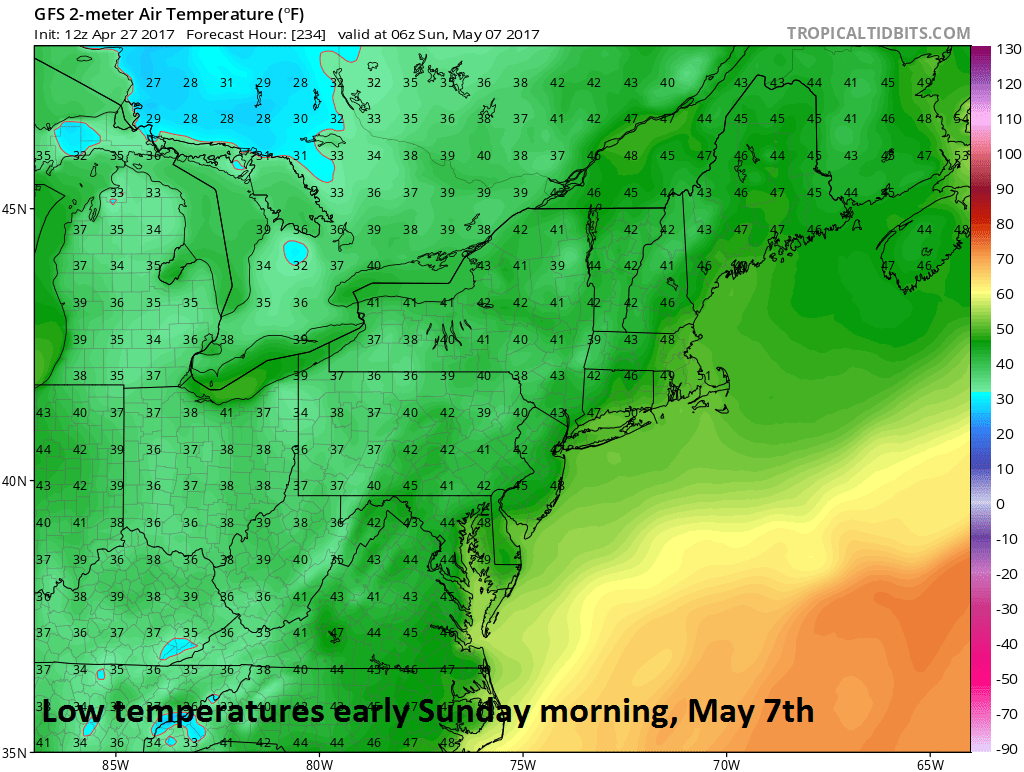
12Z GFS surface temperature forecast map for early Sunday morning, May 7th; map courtesy tropicaltidbits.com, NOAA/EMC
An even cooler air mass is likely to arrive in the Mid-Atlantic region at the end of the next week. Temperatures on Friday (5/5) and Saturday (5/6) can be some 10-15 degrees (C) below normal for this time of year in the DC-to-Philly-to-NYC corridor. In fact, some snow may fall in higher elevation locations of places like upstate Pennsylvania, western Maryland and West Virginia in this late week cool shot.
Meteorologist Paul Dorian
Vencore, Inc.
vencoreweather.com