2:00 PM | *An impressive tropical storm over the Gulf of Mexico to directly impact the Southeast US…impact later this weekend in the Mid-Atlantic with soaking rain…possible cold weather for Halloween*
Paul Dorian

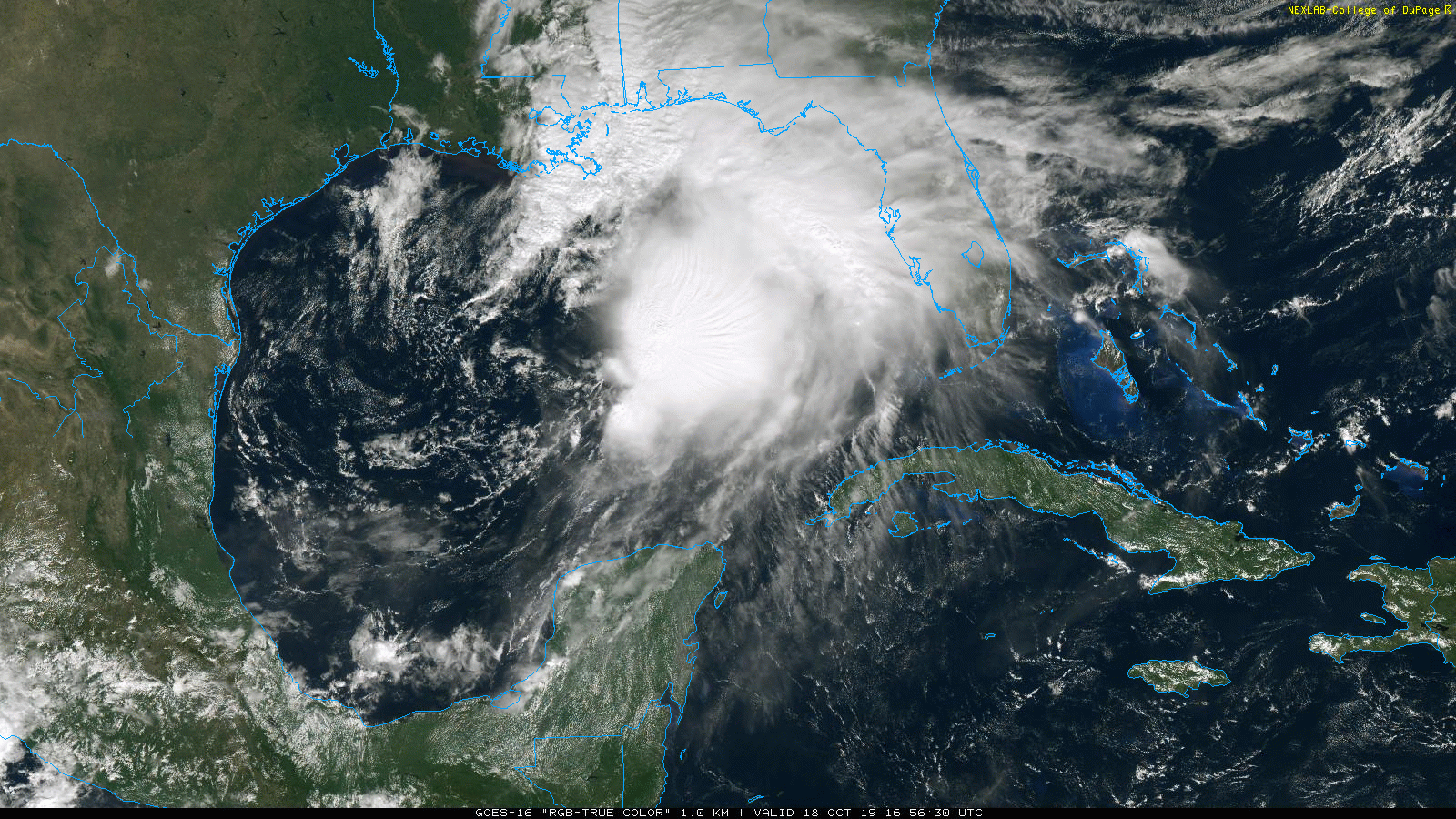
Satellite imagery loop of Tropical Storm Nestor at mid-day on Friday, October 18th; courtesy NOAA (GOES-16, “true-color”), College of DuPage
Overview
A tropical system continues to slowly intensify over the Gulf of Mexico and has now reached named (Nestor) tropical storm status. This system is moving to the northeast and will approach the northern Gulf coast later today and tonight and then move inland across the southeast US this weekend. By late Sunday, this tropical storm will likely move offshore somewhere near the Outer Banks of North Carolina and it could generate some rainfall on its NW side in the Mid-Atlantic region late Saturday night/Sunday morning. Looking in the extended time period, some impressive cold air outbreaks are likely to impact the central and eastern US during the last week of October and the first week of November – perhaps leading to quite a chilly Halloween for lots of people across the eastern half of the nation.
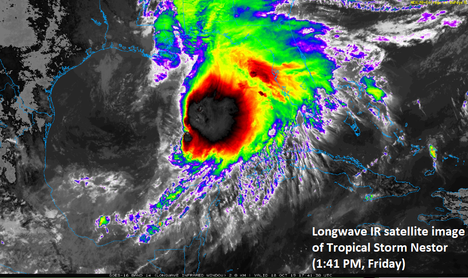
Longwave IR satellite image of Tropical Storm Nestor early Friday afternoon; courtesy NOAA (GOES-16), College of DuPage
Tropical Storm Nestor
An impressive tropical storm named Nestor continues to slowly intensify over the Gulf of Mexico and now has maximum sustained winds at 60 mph. Latest radar echoes show heavier rain bands already nearing Florida’s west coast and the Panhandle region and the rain will continue to spread to the north and east this afternoon. Strong-to-severe thunderstorms are likely to get involved across Florida over the next few hours as the system continues to intensify slowly. Tropical Storm Nestor is moving northeast at 22 mph and will likely reach the Florida Panhandle late tonight with an outside chance of strengthening to hurricane status. After landfall, the storm will continue on a track to the northeast on Saturday and Saturday night crossing over the states of Georgia and South Carolina and then likely exiting off the east coast later Sunday near the Outer Banks of North Carolina.

Storm track of TS Nestor as predicted by NOAA’s National Hurricane Center; courtesy NOAA
The precipitation and wind fields of this tropical storm have expanded in the past 12-24 hours and may impact areas as far north as the Mid-Atlantic region this weekend. Clouds will tend to increase later tomorrow in the I-95 corridor of the Mid-Atlantic and rain should push in late tomorrow night or early Sunday.. In fact, a soaking rainfall could end up occurring in much of the Mid-Atlantic region during the second half of the weekend. Improving weather conditions will return to the Mid-Atlantic Sunday night into early Monday following the departure of Tropical Storm Nestor off the North Carolina coastline. A strong N-S oriented cold front will approach from the west late Tuesday resulting in more shower activity for the area.

Potential cold pattern for late October/early November
There are signs for some impressive cold air outbreaks as we head through the last week of October and into the first part of November. The aforementioned cold front will sweep through the eastern US by the middle of next week and usher in a colder-than-normal air mass, but even colder air is possible for the central and eastern US during the last week of October and the first week of November – potentially resulting in a quite a cold Halloween for many people in the eastern half of the nation.
Meteorologist Paul Dorian
Perspecta, Inc.
perspectaweather.com