12:00 PM | ***March to begin with accumulating snow in the Mid-Atlantic…precipitation threat resumes later Fri. into early Sat.…significant rain, sleet and/or snow likely later Sun. into early Mon.***
Paul Dorian

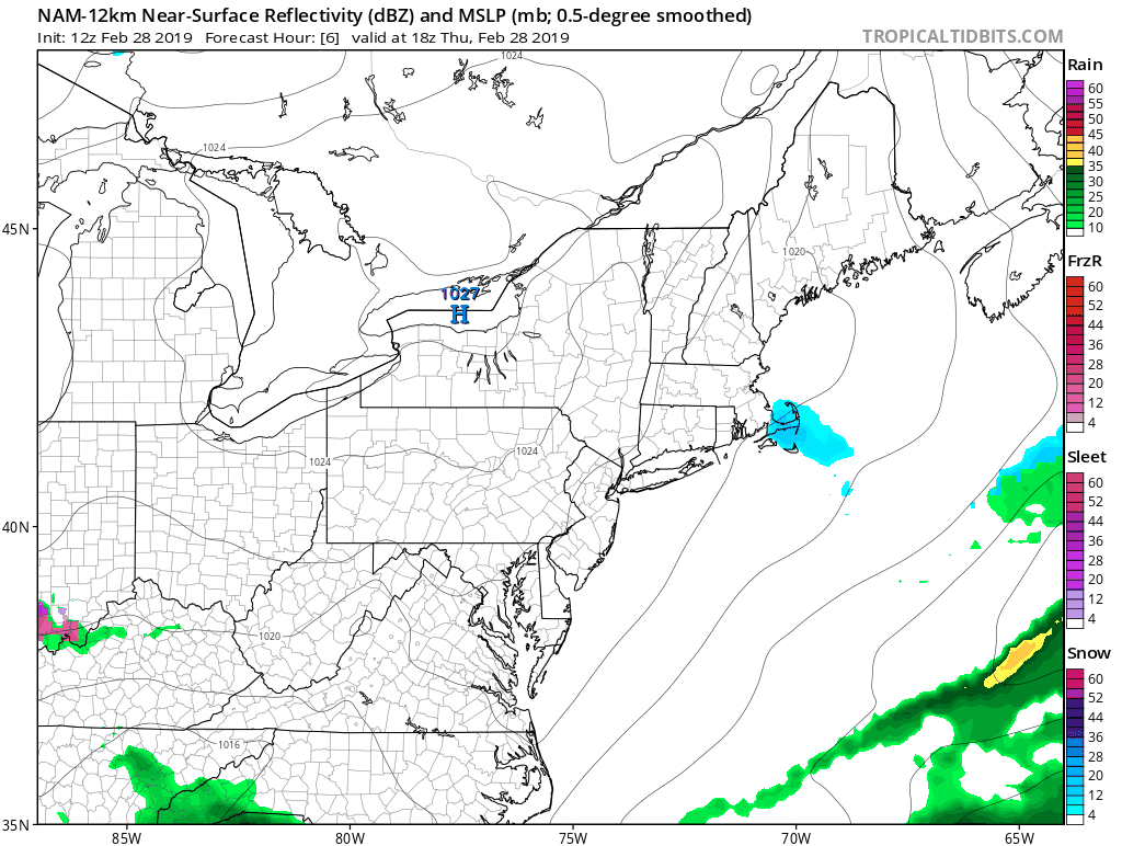
Loop of surface forecast maps by the 12Z NAM from hour 6 (1PM Thursday) to hour 48 (7AM Saturday); courtesy NOAA/EMC, tropicaltidbits.com
Overview
March is going to begin with some accumulating snow for the Mid-Atlantic region and it could have an impact on the Friday morning commute in the DC, Philly metro regions. Low pressure will push towards the Mid-Atlantic coastline in the overnight hours and snow is likely to break out around or shortly after midnight in the DC-to-Philly corridor and it can be mixed with sleet and/or freezing rain at times; especially, south of the PA/MD border. That low pressure system hangs around the Mid-Atlantic coastline on Friday and gets energized late in the day as upper-level energy passes overhead and this can lead to more rain, sleet and/or snow from late Friday into early Saturday including additional accumulations in some areas. Yet another wintry precipitation event is likely headed to the Mid-Atlantic region for later Sunday into early Monday. The late weekend system will have plenty of available moisture to it; consequently, lots of potential, but it is unclear as to where the all-important rain/snow line may set up.

12Z Euro forecast map for 7AM Friday…this model has beefed up the precipitation amounts across PA for this upcoming event which supports my idea of a few inches of snow north of the PA/MD border; courtesy ECMWF, WSI, Inc.
Late tonight/early Friday
February is ending on a chilly note in much of the northern US and March will likely begin with some accumulating snow in the Mid-Atlantic region – and that won’t be the end of the threat of winter-like precipitation. Low pressure will push northeastward tonight from the Tennessee Valley and towards the Mid-Atlantic coastline. Snow is likely to break out around or shortly after midnight in the DC-to-Philly corridor – a bit later than that in NYC - and there certainly can be some sleet and/or freezing rain mixed in at times in the overnight hours; especially, south of the PA/MD border. The timing of the snow is such that there can be some negative impacts on the AM commute in the DC and Philly metro regions. Accumulation estimates are listed below by metro region:
DC: a coating in the District to 2 or 3 inches north and northwest of DC (e.g., northern Loudoun County, northern Montgomery County)
Philly: 1-3 inches on average with isolated 4 inch amounts, higher amounts in that range generally to the south and west of Philly (e.g., Chester County)
NYC: a coating to an inch or two by mid-day Friday with the higher amounts in that range to the south and west of the metro region
Later Friday/Friday night/Saturday
Later tomorrow, low pressure will hang around the Mid-Atlantic coastline and an upper-level wave of energy will pass overhead and this will result in some rapid intensification. As a consequence, the precipitation field of this low pressure system is likely to expand significantly and there can be another round of rain, sleet and/or snow in the Mid-Atlantic region. In fact, there is the chance that this rejuvenated low pressure system could produce additional accumulating snow in areas to the north and west of Route I-95 …this will have to be closely monitored.

Forecast map for 1AM Monday with snow (in blue) generally to the north and west of Route I-95 and rain (green, yellow) to the south and east; map courtesy NOAA/EMC, tropicaltidbits.com
Sunday PM/Monday
Of all the systems that we are dealing with over the next few days, the potential is greatest for the one that is coming for the late stages of the weekend and early part of next week. By early Sunday, there will be a widespread area of precipitation in the Tennessee and Mississippi Valleys and it will be headed towards the Mid-Atlantic region. In fact, rain, sleet and/or snow can break out in the Mid-Atlantic region during the afternoon hours on Sunday and then likely continue Sunday night and into early Monday in one form or another.

Next week promises to be quite a bit colder-than-normal across a large part of the nation; map courtesy Weather Bell Analytics, NOAA
Low pressure is likely to push to the northeast from the Tennessee Valley on Sunday and it is still unclear as to whether that system will cut just to the northwest of the I-95 corridor or slide to its southeast. A track to the southeast of the big cities would increase the chances for an overall colder scenario and more snow accumulations while a path to the northwest raises the chances for rain to be the dominate precipitation type in the metro regions. At this time, odds are more favorable for snow in areas north and west of Route I-95; especially, north of the PA/MD border with rain more likely as you get closer to the east coast.
Stay tuned…it’s going to be quite an active beginning to the month of March.
Meteorologist Paul Dorian
Perspecta, Inc.
perspectaweather.com
Video discussion: