1:25 PM | ***Heavy downpours this afternoon/evening with strong-to-severe thunderstorm activity...tropical update***
Paul Dorian

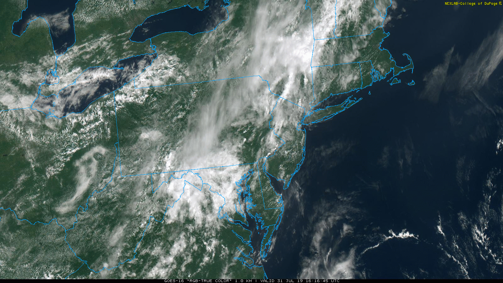
Partial sunshine in the Mid-Atlantic region is allowing for some surface heating and the destabilization of the lower atmosphere; courtesy NOAA, College of DuPage
Overview
The Mid-Atlantic region has experienced generally rain-free conditions over the past several days, but heavy downpours are on the table for this afternoon and evening. A cool front is edging this way and the result will be slow-moving showers and thunderstorms this afternoon and evening. Any slow-moving shower or storm can produce heavy rainfall amounts in a relatively short period of time and some of the storms can reach severe levels potentially producing damaging wind gusts. Given the still well-saturated grounds in the Mid-Atlantic region, any heavy rainfall can result in flash flooding conditions.

Mid-day radar shows storms already over the Philadelphia metro region and more are firing up to the west of the I-95 corridor; courtesy NOAA, College of DuPage
Discussion
A broad upper-level trough remains over the eastern US today and a more concentrated wave of energy will ride through this trough this afternoon helping to generate heavy showers and strong-to-severe thunderstorms. The latest satellite imagery loops shows high clouds pushing to the north which is allowing for strong heating to occur at ground level and this is destabilizing the lower atmosphere as this wave of energy approaches the eastern seaboard. Add into the mix, a slow-moving cool frontal system and the atmosphere can get pretty volatile this afternoon and evening with the potential of the severe weather; primarily, in the time period from mid-afternoon to late evening. This same front will grind to a halt on Thursday not far to the south of here across Virginia and North Carolina and its rather close proximity will keep it unsettled here as we head towards the upcoming weekend.

An upper-level wave of energy will slide through a broad trough of low pressure over the next few hours, destabilize the atmosphere, and move to a position near Route I-95 by early tonight. Courtesy NOAA, tropicaltidbits.com
Tropical update
Elsewhere, the Atlantic Basin tropical season usually ramps up in activity in the month of August and, as if right on schedule, there are now multiple tropical waves in the eastern Atlantic. Conditions will become quite favorable for one particular tropical wave to intensify in coming days as it treks west-to-northwest over warm waters and we could be dealing with a tropical storm (or hurricane) this time next week in the western Atlantic Ocean (would be named “Chantal”).
Meteorologist Paul Dorian
Perspecta, Inc.
perspectaweather.com
Video discussion: