1:15 PM | *****Heavy rain and flooding event coming to the Mid-Atlantic...remnants of Ida to get "re-invigorated"…tornado threat exists as well*****
Paul Dorian

Overview
Ida has been downgraded to a tropical depression, but its impact is far from over. A heavy rain and flooding event is coming to the Mid-Atlantic region on Wednesday and Wednesday night and there is a severe weather threat as well to include the possibility of tornadoes. The axis of heaviest rainfall may set up just to the north and west of the I-95 corridor and the greatest chance of severe weather may be just to the south and east of there. The remnants of Ida will get “re-invigorated” later tomorrow as it encounters a stalled-out frontal boundary zone and interacts with a strong upper-level jet streak.

Excessive rainfall is coming to the Mid-Atlantic region including in the DC, Philly, NYC metro regions with the heaviest axis potentially setting up just to the north and west of I-95. Map courtesy Weather Bell Analytics, Capital Weather Gang, NOAA
Details
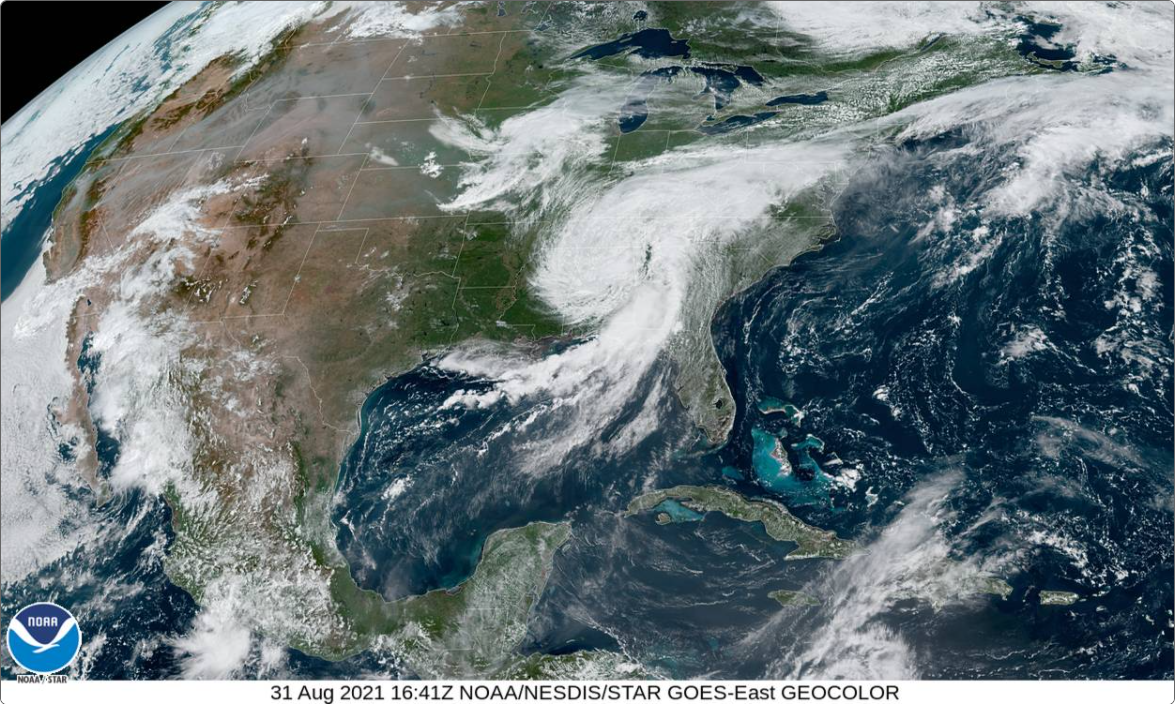
At 11 AM, the remnants of Ida are classified as a tropical depression with maximum sustained winds of 30 mph and movement to the northeast at 15 mph. Its central pressure has risen to 996 millibars and that may climb to 1000 millibars or so over the next several hours, but don’t be surprised to see a slight re-intensification of Ida later tomorrow as it encounters an upper-level jet streak (at 250 millibars) resulting in upward motion and divergence aloft - and perhaps a slight drop again in its central pressure.

Rainfall has been above-normal in recent weeks throughout the Mid-Atlantic region enhancing the chance of flooding on Wednesday and Wednesday night with the heavy rain event that is on the way. Map courtesy NOAA/NWS-Philadelphia
Rain will develop on Wednesday and continue into Wednesday night in the Mid-Atlantic region heavy at times. A general rainfall of 2-4 inches is possible along the immediate DC-to-Philly-to-NYC corridor with greater amounts possible just to the north and west and slightly lesser amounts possible to the south and east. This possibility that the axis of heaviest rain ends up to the north and west of I-95 is certainly not yet set in stone and a slight shift in either direction is still possible. Flooding is a concern throughout the Mid-Atlantic region given the above-normal rainfall of recent weeks and the resultant well-saturated grounds. If indeed the heaviest rainfall axis sets up to the north and west of I-95 that could bring the most serious flooding potential to the region from the Lower Susquehanna Valley region of south-central PA (i.e., Susquehanna River) to northwestern Virginia/eastern West Virginia (i.e., Potomac River) – stay tuned on that kind of detail.

There are some similarities between this upcoming severe weather threat and two prior tropical systems that did produce tornadoes in the Mid-Atlantic…Ivan in 2004 (track shown) and Florence in 2018 (track not shown).
While the rainfall may be somewhat less impactful to the south and east of I-95, the severe weather threat may actually be highest there with powerful thunderstorms on the table. As is somewhat customary of tropical systems when they move to higher latitudes, tornadoes are more likely to form on the eastern side of the storm track. In this particular case, that would put the highest threat of severe weather in places like southern NJ, Delmarva Peninsula, and on the southeastern side of the District of Columbia to include southern Maryland/eastern Virginia. Indeed, there are some similarities between this tropical system and a couple of others that produced tornadoes in their warm sectors: Ivan of 2004 and Florence of 2018. One of the keys to the threat of severe weather later tomorrow will be the level of daytime heating that is reached; especially, to the south and east of I-95. If sunshine actually breaks out - even for a brief time - to the south and east of I-95 then that would act to destabilize the lower atmosphere and enhance the chances for severe weather in those areas. Following the departure of the storm, cool air for the beginning of September will follow with highs on Thursday, Friday and Saturday generally confined to the 70’s in the Mid-Atlantic region.
Stay tuned…still some details to iron out for the upcoming heavy rain/flooding and severe weather threat in the Mid-Atlantic region.
Meteorologist Paul Dorian
Peraton
peratonweather.com
Follow us on Facebook, Twitter, YouTube
Video discussion: