
12:15 PM (Tues) | ****Heat wave peaks today with highs near 100 degrees...severe thunderstorm threat later today, tonight, and tomorrow...power outages on the table...cooler pattern on the way****
Paul Dorian
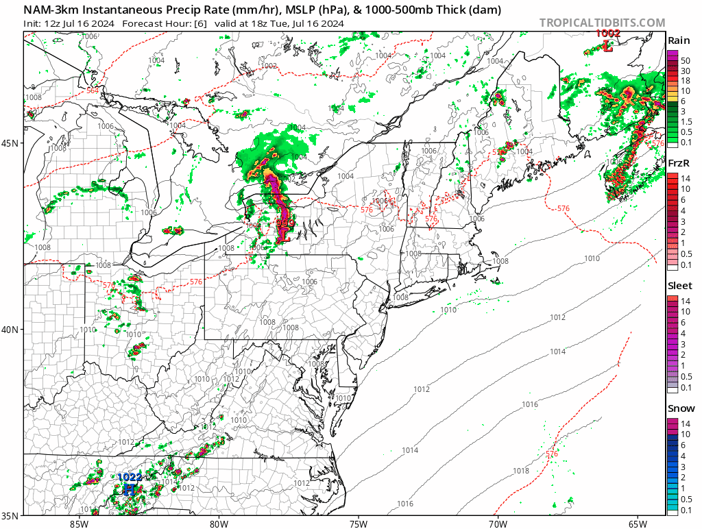
Severe thunderstorms are on the table in the Mid-Atlantic region from later today through tomorrow night. This forecast loop of radar reflectivities extends from later today into tomorrow night…any thunderstorm during the next 36 hours can produce heavy rainfall, damaging wind gusts and hail. Maps courtesy NOAA, tropicaltidbits.com
Overview
The current heat wave in the Mid-Atlantic region likely reaches a peak today with some spots along the DC-to-Philly-to-NYC corridor reaching the 100 degree mark for afternoon highs. Temperatures will remain quite hot on Wednesday, but likely a few degrees lower than today due to more abundant cloud cover ahead of an incoming cold frontal system. Occasional showers and thunderstorms are likely from later today through tomorrow night. Any thunderstorm during this next 36 hours or so can reach severe levels producing torrential rainfall, damaging wind gusts, and hail and, unfortunately, power outages are on the table. The passage of the cold front late Wednesday night will usher in a cooler air mass for Thursday and Friday and the overall weather pattern may not include any more in the way of extreme heat for much of the eastern half of the nation through the remainder of the month of July.
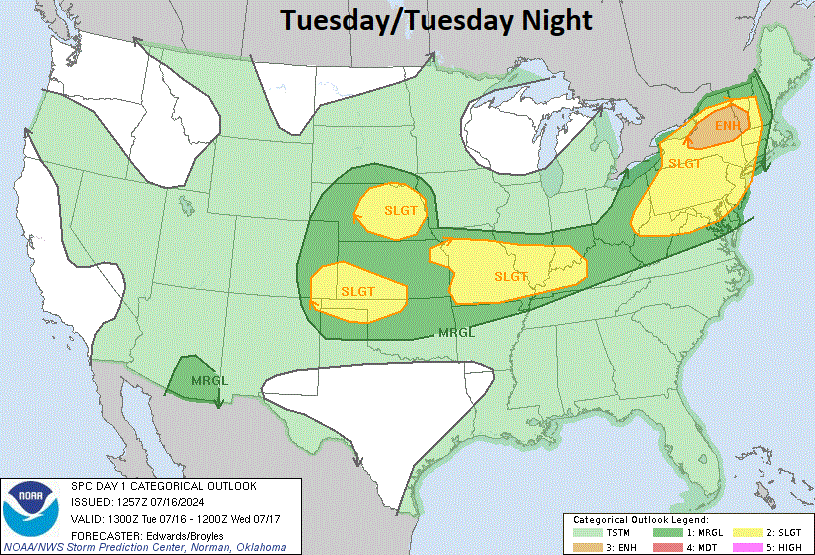
Severe thunderstorms are possible in the Mid-Atlantic region and Northeast US later today and tonight and the threat extends westward to the nation’s heartland. Map courtesy NOAA/SPC
Details
The last time Philly Airport and New York City hit triple digits was in July of 2012 and there is a chance that 100 degrees is reached later today in some spots of those two metro areas. The Washington, D.C. metro region also has a chance to reach 100 degrees this afternoon which actually happened very recently on the 22nd of June. The current heat wave will extend into Wednesday; however, temperatures are likely to be a few degrees lower tomorrow due to an increase in cloud cover as a cold front approaches from the northwest.
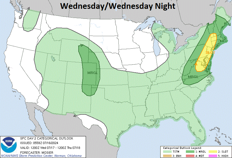
Severe thunderstorms are possible along the I-95 corridor on Wednesday and Wednesday night as a cold front slides across the region. Map courtesy NOAA/SPC
In terms of rainfall, there will be occasional showers and thunderstorms from later today through tomorrow night ahead of an approaching cold frontal system. Any thunderstorm that develops in this excessive heat during the next 36 hours or so can produce heavy rainfall amounts in a short period of time, damaging wind gusts and hail and, unfortunately, power outages are on the table. The front will tend to stall-out on Thursday across the southern Mid-Atlantic region so the chance of rain may not come to a close after its passage in areas just to the south and east of the DC metro region.

An overall cooler weather pattern begins on Thursday in the Mid-Atlantic region and temperatures could stay relatively close-to-normal for the reminder of the month across much of the eastern half of the nation. Map courtesy NOAA, Weather Bell Analytics
One positive that will result from the passage of the cold front is the arrival of a cooler air mass on Thursday and high temperatures should be confined to the 80’s…much more comfortable compared to today’s flirtation with triple digits. The cooler conditions will continue on Friday as well and there are signs that the excessive heat may not return through the remainder of the month in much of the eastern half of the nation.
Meteorologist Paul Dorian
Arcfield
arcfieldweather.com
Follow us on Facebook, Twitter, YouTube
Video discussion: