10:15 PM | ***Evening update on tomorrow's accumulating snow and subsequent brutal cold***
Paul Dorian

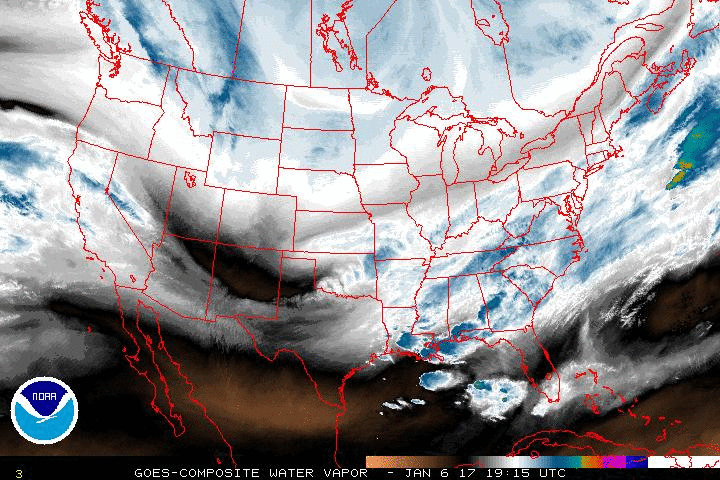
Latest water vapor loop showing copious amounts of moisture pushing up the eastern seaboard; courtesy NOAA/GOES
Latest satellite and radar images confirm the precipitation field of the developing coastal storm is rapidly expanding. In addition, a look at lightning strikes over the Gulf of Mexico shows a very dynamic atmosphere with copious amounts of thunderstorm activity and this will aid in the rapid intensification of this storm system. All of this leads me to believe there will be a greater push to the northwest on Saturday of the accumulating snow field associated with the developing coastal storm and accumulations in the big city metro regions of DC and Philly could reach 1-3 inches. Just to the south and east of these big cities the snowfall could reach the 3-6 inch range (e.g., interior southern New Jersey, southern Maryland), and near the coastline 6-12 inches of snow is possible (e.g., Cape May, NJ, Atlantic City, NJ, Ocean City, MD). The NYC metro region can expect a general 3-5 inch snowfall.

Lots of lightning strikes over the Gulf of Mexico this evening suggest an energetic atmosphere; courtesy lightningmaps.org, blitzortung.org
In terms of timing, the snow is likely to reach the DC area by 3 or 4 am and continue to around mid-day, reach Philly by 8 or 9 am and continue into the early-to-mid afternoon hours, and reach New York City by late morning and continue there until the early evening.

Latest US radar map with lots of precipitation in the eastern US and California; courtesy Mesonet
Following the storm, brutal cold air will flood into the eastern US on northerly winds and temperatures in the northern and western suburbs of DC, Philly and NYC could drop to near 10 degrees by early Sunday and again early Monday.
Meteorologist Paul Dorian
Vencore, Inc.
vencoreweather.com
Extended video discussion:
https://www.youtube.com/watch?v=x3hZvOSxJ6M&feature=em-upload_owner