
11:50 AM | **Short-lived, but dramatic Arctic blast headed from the Northern Plains to the eastern seaboard**
Paul Dorian
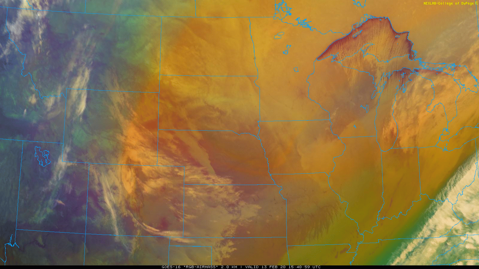
GOES-16 “airmass” RGB imagery product reveals the leading edge of the Arctic air mass with the “orange” line cutting to the south and east across Wisconsin and Iowa. Courtesy College of DuPage, NOAA (GOES)
Overview
An Arctic front has pushed through the Northern Plains and into the Upper Midwest at mid-day and temperatures have plunged to below zero in many locations. In addition, winds are quite strong in these same areas resulting in dangerous wind chill values as low as 30 degrees below zero. This Arctic air outbreak will continue to push to the south and east over the next 24 hours and will bring some of the coldest readings yet this season to the Mid-Atlantic and Northeast US by the early part of the weekend. As has been the case for much of the winter, the cold air will be rather short-lived and temperatures will ease noticeably by Sunday afternoon in the Mid-Atlantic/NE US.

Plenty of record or near record lows this morning across the Northern Plains as the Arctic air plunges to the south and east (indicated by the blue circles in boxed region). Map courtesy coolwx.com, NOAA
Details
Arctic air is pushing across from the Northern Plains into the Upper Midwest at mid-day and this air mass will continue to push south and east over the next 24 hours. An initial surge of the colder air will reach the Mid-Atlantic region in the overnight hours and then a second push will arrive early tomorrow and likely result in temperatures holding steady during the day or even falling on Friday. By tomorrow night, the full brunt of the Arctic air mass will have in the Mid-Atlantic region and strong high pressure will push eastward from the Midwest to the Northeast US. Winds will be quite strong on Friday out of the northwest making it feel even worse than the actual air temperature, but then they’ll diminish on Friday night and this will combine with mainly clear skies to allow for excellent radiation cooling and bitter cold conditions.

Much colder-than-normal air will dominate the eastern half of the nation on Friday. Map courtesy NOAA, tropicaltidbits.com
By early Saturday morning, temperatures could actually bottom out in the 10-14 degree range for lows in the northern and western suburbs of Philly and New York City and to the 15-19 degree range in and around the DC metro region. High temperatures on Saturday will again be confined to the low or middle 30’s in the I-95 corridor - well below-normal for this time of year (e.g., normal high in Philly is now 43 degrees). The strong high pressure system will then push off the east coast late Saturday and temperatures will ease on Sunday with highs back up into the 40’s in DC, Philly and NYC.
Meteorologist Paul Dorian
Perspecta, Inc.
perspectaweather.com
Follow us on Facebook, Twitter, YouTube
Video discussion: