11:15 AM (Monday) | ****Potential for damaging wind gusts of 60+ mph during the mid-day and afternoon…continuing threat of severe thunderstorms with possible hail and even isolated tornadoes****
Paul Dorian

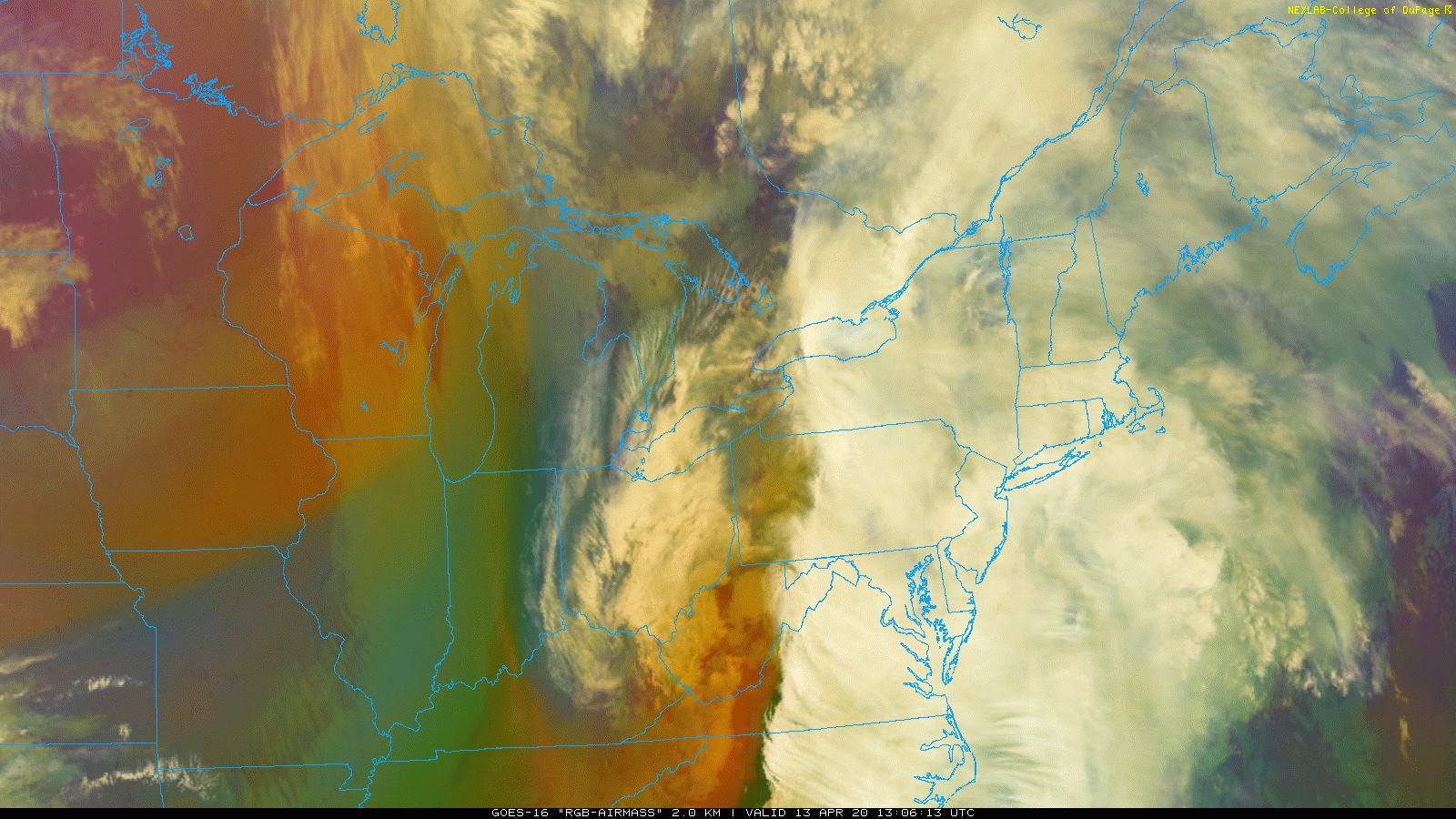
Drier air is trying to push northward just ahead of the cold front and this could lead to a brief “break” in the precipitation pattern and, more importantly, a destabilizing of the atmosphere which would enhance chances for severe thunderstorms this afternoon. Images courtesy College of DuPage, NOAA
Late morning update
The late night and morning hours featured some steady and heavy rainfall rain in the I-95 corridor and it has resulted in localized flash flooding conditions along the DC-to-Philly-to-NYC corridor. The overall precipitation pattern will become more variable for the next several hours with multiple bands and the continued threat for downpours, but also the chance for a “break in the action” at times. As a strong cold front presses to the east across the eastern Ohio Valley, thunderstorms are breaking out to our west. Some of these storms can reach severe levels by the time they reach the I-95 corridor with hail a possibility to go along with heavy rainfall and damaging winds and there is even the chance for isolated tornadoes.

Mid-afternoon forecast map indicated scattered storms will line up along the cold front as it approaches the I-95 corridor. Map courtesy NOAA
There is some drying in the atmosphere just ahead of the frontal system across places such as West Virginia and western Pennsylvania and this could lead to brief “brightening” of the skies before the cold front arrives. Any “brightening” that aids in low-level heating would enhance chances for severe thunderstorm activity later in the day when the front arrives as this would act to further destabilize the atmosphere.

A powerful low-level jet streak along the east coast is enhancing chances for damaging wind gusts in the DC-to-Philly-to-NYC corridor. Map courtesy NOAA, tropicaltidbits.com
In terms of winds, there is currently a very strong low level jet streak just a couple thousand feet above ground level that is associated with a surge northward of warm and humid air. This low-level jet streak has winds as high as 80 mph just above ground level and it wouldn’t take much mixing of the atmosphere to bring to the surface some of these types of wind gusts; especially, if severe thunderstorms were to form later in the day. The potential is there for gusts of 60+ mph in the immediate I-95 corridor region from mid-day through the afternoon hours and this could result in some downed trees; especially, considering the very wet soil conditions and power outages are certainly on the table. The best chance for the strongest wind gusts appears to be setting up for areas just east of Route I-95 such as in coastal New Jersey, NYC metro region, and the Delmarva Peninsula where the potential exists for 70+ mph wind gusts. Any severe thunderstorm that forms later today could result in hail to go along with heavy rainfall and strong winds and even isolated tornadoes are a threat.

Steady, heavy rain of overnight and Monday morning will be followed by some “breaks in the action” for the mid-day and afternoon. Showers and thunderstorms across the Ohio Valley at mid-day are associated with a strong eastward-moving cold frontal system. Map courtesy NOAA
Following the frontal passage, colder air will pour into the region late tonight and as the cold front stalls along the east coast, weak low pressure is likely to form along the boundary zone later tomorrow. This system could bring some rain to the Mid-Atlantic region from late tomorrow night into Wednesday and it could be just cold enough for wet snow to mix in at times. The colder-than-normal weather pattern will continue through the remainder of the week across much of the nation and additional cold air outbreaks are likely in the central and eastern US as we progress through the month of April.

It looks like quite a cold week for the middle of April across much of the US; map courtesy WSI, Inc, ECMWF
Meteorologist Paul Dorian
Perspecta, Inc.
perspectaweather.com