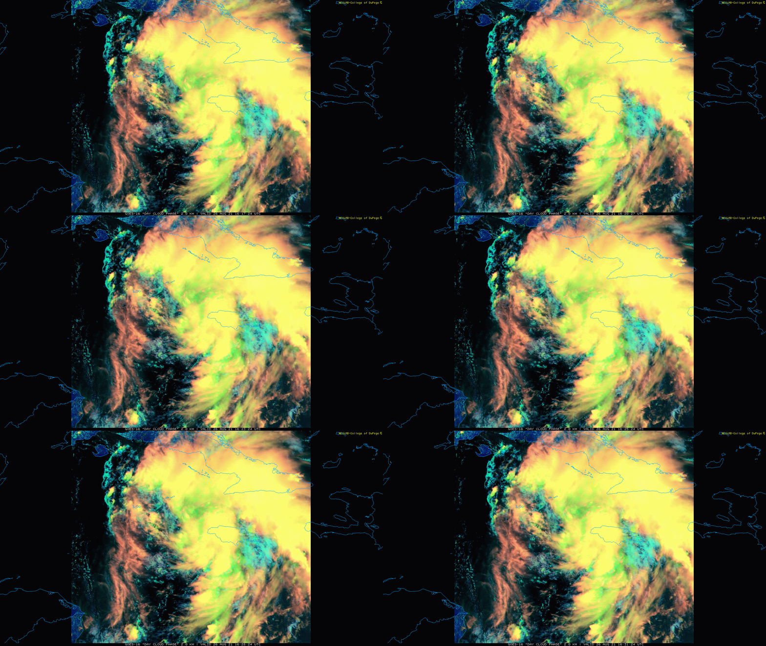
12:30 PM | *Hurricane threat continues to grow for the western/central Gulf coast in the late Sunday/Monday time frame…rapid intensification possible with this system - perhaps even into a ”major”*
Paul Dorian
TD 9 is likely to strengthen into a hurricane in coming days - perhaps even into a “major” - and then is likely to threaten the western/central Gulf coastal region by later Sunday or Monday. Images courtesy College of DuPage, NOAA
Overview
The Atlantic Basin remains quite active today with three systems on the tropical scene, but the one over the west-central Caribbean Sea is of most concern at this time. There are strong signs that this system now officially known as “Tropical Depression 9” can reach hurricane status by the early part of the weekend over the Gulf of Mexico and then perhaps close in on the western/central Gulf coast by later Sunday or Monday. There is even the chance that TD 9 undergoes rapid intensification and strengthens enough in coming days to reach “major” hurricane status (i.e., category 3 or higher).
Water temperatures are at or above 85 degrees (F) in the northwestern Gulf of Mexico…favorable for intensification of a tropical system given the likely favorable atmospheric conditions. Map courtesy tropicaltidbits.com, NOAA
Details
There are two tropical systems currently out over the open waters of the Atlantic Ocean, but neither of these is a threat to land anytime soon. It is the third system now located to the southwest of Jamaica that is of most concern and it is a growing threat for the western/central Gulf coast. At 11AM, TD 9 was moving NW at 13 mph with maximum sustained winds around 35 mph. Environmental conditions will become more favorable for strengthening during the next few days as it likely heads towards the western tip of Cuba. An encounter with the land mass of western part of Cuba would likely inhibit its intensification, but probably for just a short period of time. Once TD 9 gets out over the warm waters of the Gulf of Mexico, additional intensification is likely to take place…perhaps in a rapid fashion and to the point that “major” hurricane status is achieved (i.e., category 3 or higher).
A key player in the unfolding pattern will be strong high-pressure ridging aloft that will build over southeastern Canada this weekend…usually favorable for tropical activity in the Gulf of Mexico. Map courtesy NOAA, tropicaltidbits.com
Sea surface temperatures are plenty warm enough in the Gulf of Mexico to support a hurricane – even a “major” hurricane – as long as atmospheric conditions are conducive and they should be in this case. In fact, water temperatures in much of the northwestern part of the Gulf of Mexico are 85 degrees (F) or higher which is actually well above-normal for this time of year which is normally near peak to begin with.
In addition to water temperatures, a “supportive” factor for TD 9 will be the upper-air pressure pattern that is unfolding. In the upper part of the atmosphere, strong high-pressure ridging will set up over the southeastern part of Canada this weekend and this is usually a favorable position for tropical activity to take place in the Gulf of Mexico (or southwestern part of the Atlantic). Support for abnormally higher heights (and pressure) over the southeastern part of Canada comes from a teleconnection index known as the North Atlantic Oscillation or NAO. When this index is in “negative” territory for an extended period of time - as it is likely to be in coming days - the typical upper-air pattern that forms features strong high pressure over places like eastern Canada or Greenland.
The latest GFS model forecast for the track of TD 9 with intensity levels and timing information included on the plot. Map courtesy weathermodels.com (Twitter: Dr. Ryan Maue), NOAA
After landfall, there are signs that this tropical system will push north initially and then to the northeast later next week. This could bring some more heavy rainfall to the Tennessee Valley – where they don’t need it – and ultimately, perhaps to the Mid-Atlantic region. For now, while this possible event is still a few days away, all residents from the Florida Panhandle-to-Texas should continue to closely monitor TD 9 as it heads from the Caribbean to the Gulf of Mexico and a possible Gulf coast landfall later Sunday or Monday.
Meteorologist Paul Dorian
Peraton
peratonweather.com
Follow us on Facebook, Twitter, YouTube
Video discussion:


