
12:15 PM | ****Hurricane threat for Florida’s Gulf coast later Thursday and it can become a “major”...changing weather pattern results in enhanced upward motion...the "Fujiwhara effect"****
Paul Dorian

A somewhat disorganized area of showers and thunderstorms over the Caribbean Sea will soon consolidate into a strong tropical storm. This system will then continue to intensify later in the week as it moves northward over the still very warm waters of the Gulf of Mexico. The end result is a hurricane threat later in the week for somewhere near the Big Bend region of Florida’s Gulf coast and it can reach “major” hurricane classification as a “cat 3” or higher. Images courtesy NOAA
Overview
A strong tropical wave has developed over the northwestern Caribbean Sea during the past day or so and it is likely to threaten Florida’s Gulf coast as a hurricane by later Thursday...potentially as a “major” hurricane of “category 3” classification or higher. After landfall, the remnants of the hurricane will likely grind to a halt in its northward progression somewhere over the Tennessee Valley thanks to “blocking” high pressure to the north. In fact, the tropical low may “rotate” around an upper-level trough of low pressure that is now dropping into the south-central states. This “rotation” of one low pressure around another is known to meteorologists as the “Fujiwhara effect”.
This newly forming tropical storm system is indicative of a significant change to the overall large-scale weather pattern in the Atlantic Basin…one that is much more conducive to the formation and intensification of tropical systems. This change is the result of a re-positioning of a tropical disturbance known as the “Madden-Julian Oscillation” and it is leading to enhanced upward motion over the Caribbean Sea and Gulf of Mexico. This more favorable weather pattern for tropical cyclone activity will likely last well into the month of October.

The re-positioning of a tropical disturbance known as the Madden-Julian Oscillation (MJO) is changing the overall weather pattern over the Atlantic Basin with last week’s upper-level convergence (top map) evolving into this week’s upper-level divergence (bottom map). With convergence in the lower levels and divergence aloft, upward motion will become enhanced throughout the Caribbean Sea and Gulf of Mexico…much more favorable for tropical storm formation and intensification. Maps courtesy ECMWF, Weather Bell Analytics
Discussion
The “lid” has come off the atmosphere over the Caribbean Sea with an increase in upward motion that has led to the formation of a strong tropical system during the past day or so. Intensification should continue over the next couple of days with the overall favorable environment featuring convergence in the lower levels and divergence aloft (leading to upward motion). The tropical system will likely take a track in between the Yucatan Peninsula region of Mexico and the western tip of Cuba and this type of path is quite worrisome as it would help to maintain the strength of the tropical storm since it stays over very warm waters.

NOAA's latest official tropical storm track suggests landfall sometime on Thursday along Florida's Gulf coast. All residents from New Orleans to Tampa should continue to monitor this current threat closely over the next couple of days. Map courtesy NOAA/NHC
The tropical system should become a named tropical storm (Helene) by mid-week and then continue to intensify into a hurricane as it moves northward over the still very warm waters of the Gulf of Mexico. In fact, there is a chance that this system reaches “major” hurricane status of category 3 (or higher) before landfall likely sometime on Thursday. This northward track over the Gulf of Mexico would bring the tropical system towards the Florida Gulf coast...perhaps ending up somewhere near the Big Bend region by late in the day on Thursday. Note: a slight shift to the east of this expected track would raise the chance of serious impact in the Tampa Bay region. Since the year 2000, 8 “major” hurricanes have made Florida landfall in as follows: 2004 Charley, Jeanne; 2005 Dennis, Wilma; 2017 Irma; 2018 Michael; 2022 Ian; 2023 Idalia.
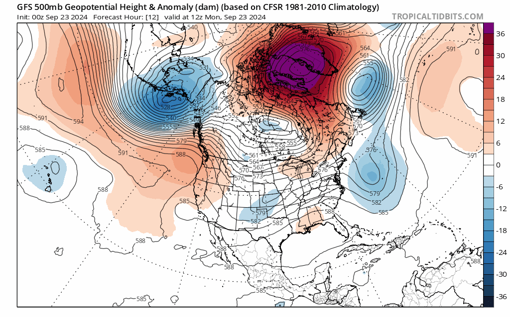
After landfall, the remnants of “Helene” will interact with an upper-level trough dropping into the south-central states and also very strong upper-level high pressure ridging over southern Canada. As a result, the remnants of the hurricane (to be named Helene) will grind to a halt in its northward progress somewhere over the Tennessee Valley or southern Ohio Valley and will "rotate around" the incoming upper-level trough of low pressure (the so-called "Fujiwhara effect"). Maps courtesy NOAA, tropicaltidbits.com
After landfall, the remnants of the hurricane later this week will continue a northward track through the state of Georgia and will then become increasingly influenced by very strong upper-level ridging over southern Canada. In addition, an upper-level trough of low pressure will drop into the south-central states and this system will also influence the movement of the tropical system later in the week. The high pressure to the north is essentially a “blocking” type of system; consequently, the remnants of the tropical system will not be able to advance farther north than the Tennessee Valley or southern Ohio Valley (in other words, only a small chance at this point for relief of the dry conditions in the Mid-Atlantic and NE US). In fact, the tropical low will likely “rotate around” with the upper-level trough for a couple of days in a scenario that meteorologists refer to as the “Fujiwhara effect” (a phenomenon that occurs when two cyclonic vortices, such as hurricanes or tornadoes, get close enough to each other to begin rotating around a common center point. The effect is named after Japanese meteorologist Sakuhei Fujiwhara, who first described it in a 1921 paper). Ultimately, the tropical low may dissipate and become “absorbed” by the upper-level trough.

“Blocking” high pressure over southern Canada will inhibit the northward movement of soon-to-be named “Helene” later in the week. As such, remnants of “Helene” will grind to a halt over the Tennessee Valley and "rotate around" an upper-level trough that is now dropping into the south-central states. Map courtesy ECMWF, Weather Bell Analytics
More information on the Madden-Julian Oscillation (MJO)
Meteorologists track an oceanic-atmospheric phenomenon known as the Madden-Julian Oscillation or MJO which affects weather patterns across the globe. Unlike El Nino or La Nina which are stationary features in the equatorial Pacific Ocean, the MJO is an eastward moving disturbance of clouds, rainfall, winds and pressures that traverses the planet in the tropics and returns to its initial starting point in 30 to 60 days, on average. The MJO was first discovered in the early 1970s by Dr. Roland Madden and Dr. Paul Julian when they were studying tropical wind and pressure patterns.

The tropical disturbance feature known as the Madden-Julian Oscillation will rotate through Phase 7 and into Phase 8 in coming days (counterclockwise direction on plot) which is a more favorable location for tropical storm activity in the Atlantic Basin. Map courtesy NOAA, ECMWF
The MJO consists of two parts or phases with one being the enhanced rainfall (convective) phase and the other is the suppressed rainfall phase. The location of the convective phases is often grouped into geographically based stages that are numbered 1-8 by scientists. The location or phase of the MJO can be correlated quite well with specific weather patterns in different parts of the world depending on the time of year. The MJO creates favorable conditions for tropical cyclone activity which is why it is important to monitor during the Atlantic Basin tropical season. The last 30-days has been generally unfavorable for tropical activity in the Atlantic Basin with respect to the positioning of the MJO; however, the next 30-days is looking more favorable. Specifically, with the re-positioning of the MJO, upward motion is becoming significantly strengthened across the Caribbean Sea and Gulf of Mexico and there may be tropical activity well into the month of October.
Meteorologist Paul Dorian
Arcfield
arcfieldweather.com
Follow us on Facebook, Twitter, YouTube
Video discussion: