
****First widespread snow event for the DC-to-Philly-to-NYC corridor with SE PA, northern DE, central NJ in prime location…bone-chilling cold, biting winds to follow with next Arctic blast****
Paul Dorian
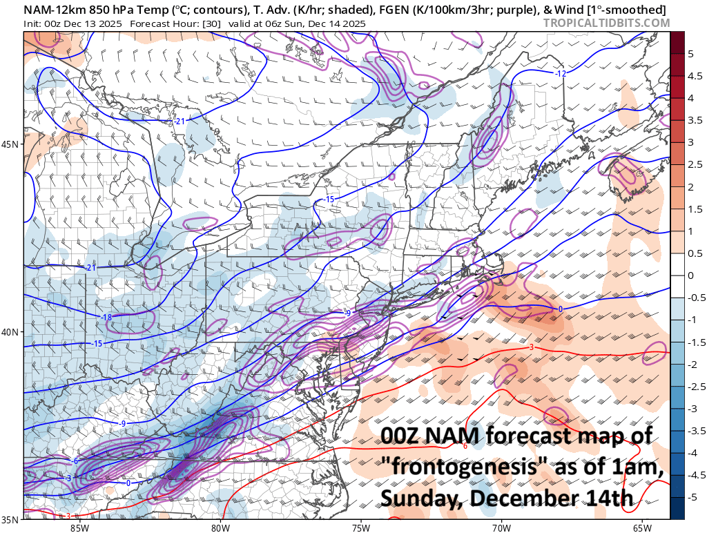
An Arctic front will slide through the Mid-Atlantic region in the overnight hours and temperatures in the lower part of the atmosphere will crash (high snow ratios)…any mixed precipitation will change to all snow in the I-95 corridor. “Frontogenetic” banding can result in mesoscale heavier snow bands in the late night hours which can lead to localized higher snowfall amounts than the average ranges listed below. Map courtesy NOAA, tropicaltidbits.com
Overview
The first widespread snow event for the DC-to-Philly-to-NYC corridor will take place from later tonight into Sunday morning and this snow event will be followed by bone-chilling cold and biting winds for the rest of Sunday, Sunday night, and Monday. Low pressure will quickly move today across the Plains, Midwest and Ohio Valley and will get a boost later tonight as it reaches the Mid-Atlantic region thanks to strong support in the upper atmosphere. A powerful jet streak will intensify overhead of the I-95 corridor later tonight enhancing upward motion in the area and the result will be an accumulating snowfall focused on the overnight hours and the early morning hours on Sunday. The precipitation could break out as a mixed bag this evening in some areas, but will change to all snow later tonight.

A key player on Saturday night/early Sunday will be a powerful upper-level jet streak that intensifies overhead in the Mid-Atlantic region. This will enhance upward motion and contribute in an important way to the first plowable snowfall along the entire DC-to-Philly-to-NYC corridor. Map courtesy NOAA, tropicaltidbits.com
Details
An Arctic air mass has plunged into the north-central US, and it may be the most brutal of the bunch since the cold weather pattern started around Thanksgiving Day in the northern US. Temperatures on Saturday morning are well below zero in many spots of the Northern Plains and this bitter cold air mass will spread to the south and east over the next 24 hours. Yet another “clipper” system has formed along this latest Arctic frontal boundary zone, and it will move quickly today in an east-to-southeast fashion over the central Plains, Midwest and Ohio Valley and produce accumulating snow along its path. When this system arrives in the Mid-Atlantic region later tonight, it will have quite a bit of upper-level support with a powerful jet streak intensifying overhead that will enhance upward motion in the area leading to accumulating snow from later tonight into Sunday morning. There can be a period of mixed light precipitation during the evening hours in some areas, but this will change to snow later tonight and the snow can come down hard during the wee hours of the morning into early Sunday morning.

12Z HRRR “total snowfall” forecast map features several inches of snow in portions of the I-95 corridor and also across the western Mid-Atlantic region/eastern Ohio Valley. Map courtesy NOAA, tropicaltidbits.com
Snowfall estimates are as follows:
DC metro: 1-3 inches with localized higher amounts possible across the north and northeastern MD suburbs (e.g., Laurel, Columbia)
SE PA including Philly metro, northern DE, central NJ: 3-6 inches with localized higher amounts
NYC metro: 2-5 inches with localized higher amounts
Starting/ending times:
light mixed precipitation is possible in some areas between 7 and 11pm…main snow event between ~11pm and 6-9am on Sunday morning
Note- “localized higher amounts” are possible in this particular event given the expectation of mesoscale heavier snow bands that should form as temperatures crash in the lower levels of the atmosphere.

Arctic air plunged into the Northern Plains/Upper Midwest on Friday and this brutal air mass will spread to the south and east during the next 24 hours. Map courtesy NOAA, tropicaltidbits.com
Following the snow, Arctic air will invade the Mid-Atlantic region and the rest of Sunday, Sunday night, and Monday will feature bone-chilling cold and biting winds. The Arctic chill that arrives on Sunday in the northeastern states will stick around into Tuesday with well below normal temperatures for mid-December. Looking ahead, there is likely some noticeable warming on the way for the latter part of next week across the northeastern states. One final note, football games on Sunday will certainly be affected by this next Arctic air outbreak with very windy and cold conditions expected in Philly (1pm, Eagles vs Raiders) and New York City (1pm, Giants vs Commanders) and especially in Chicago where the Bears play the Browns at 1pm and temperatures will struggle to reach the lower teens for afternoon highs and wind chills will be far lower...btw, only 58 days until spring training.
Meteorologist Paul Dorian
Arcfield
arcfieldweather.com