*”Bermuda-high” weather pattern setting up for the eastern states...warm, humid conditions to dominate from mid-week through the weekend with a daily shot of showers and thunderstorms*
Paul Dorian
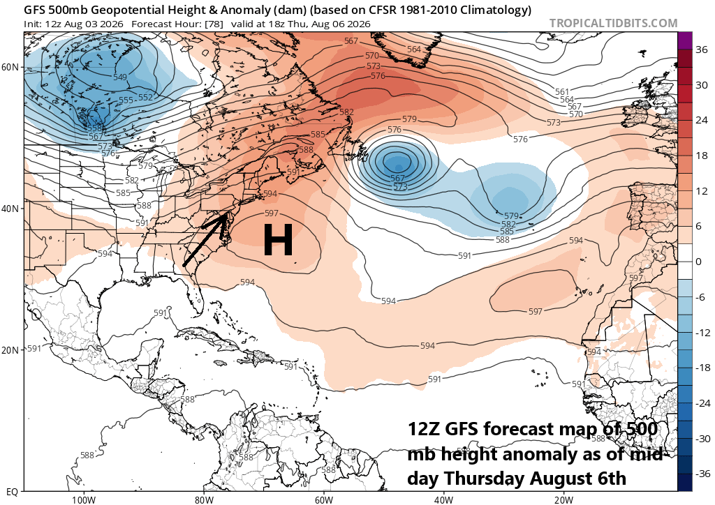
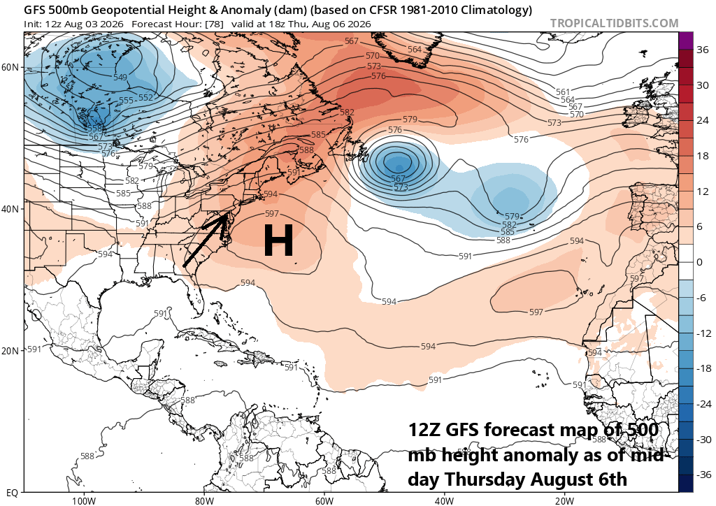
An upper-level trough low low pressure over the eastern states will be replaced by an intensifying ridge of high pressure in coming days to be centered over the western Atlantic Ocean. Map courtesy NOAA< tropicaltidbits.com
Overview
It is rather warm and humid today in the DC-to-Philly-to-NYC corridor and it looks like we better get used to these conditions as a “Bermuda-high” weather pattern is setting up for the eastern states. An upper-level trough of low pressure over the eastern US here at the beginning of the week will dissipate shortly and strong ridging will form over the western Atlantic by mid-week. As such, a broad southwesterly flow of air will develop along the Atlantic Seaboard and likely persist for several days bringing warm and humid conditions to the I-95 corridor and moisture levels will be high enough to produce a daily shot of showers and thunderstorms.
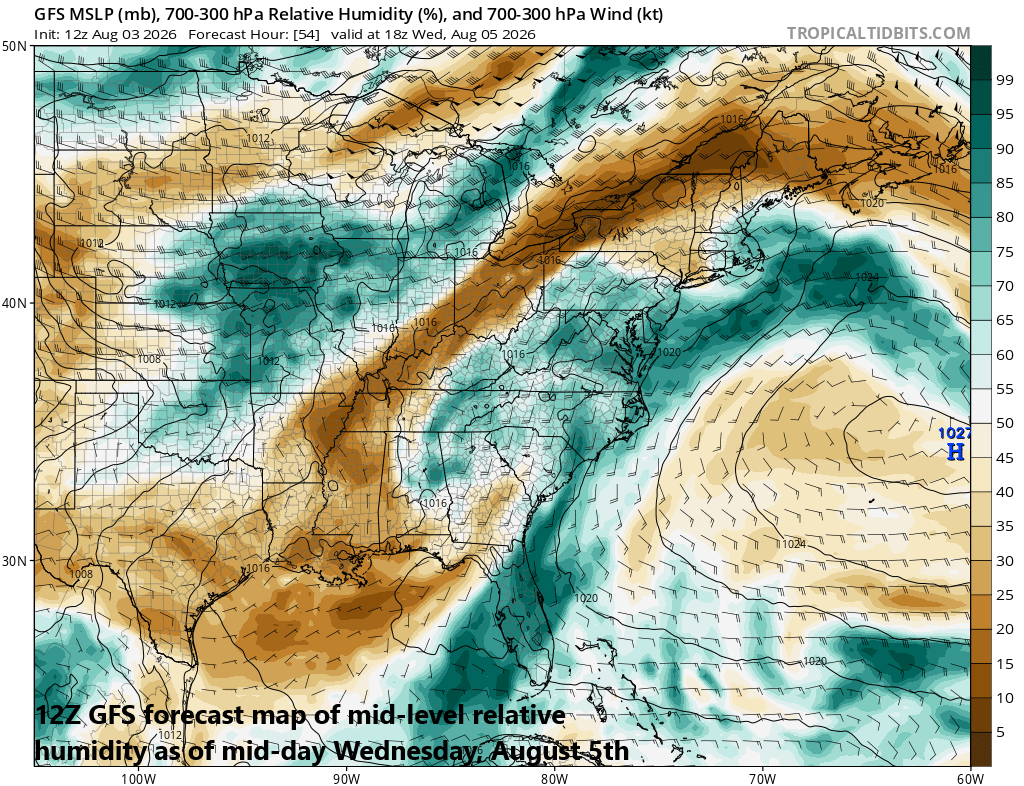
High pressure centered over the western Atlantic will help to pump warm and humid air into the northeastern states from the Gulf region. This rather typical summertime “Bermuda-high” weather pattern should persist for a several day time period. Map courtesy NOAA, tropicaltidbits.com
Details
There have been numerous showers and thunderstorms along the east coast today from coastal Delmarva to New York City and another band will impact portions of the I-95 corridor during the afternoon and evening hours. By later tonight and for much of the day on Tuesday, shower and thunderstorm activity will be isolated and much of the time will be rain-free in DC, Philly and New York City. A warm front will lift northward through the Mid-Atlantic region later tomorrow as a “Bermuda-high” type of weather pattern unfolds across the eastern states.
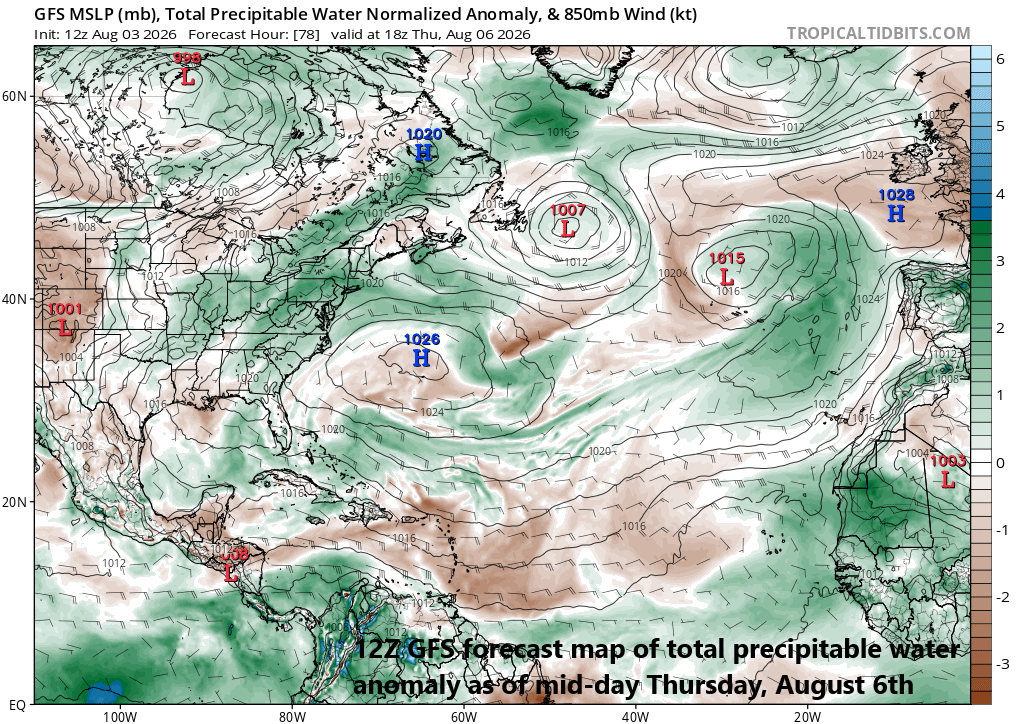
A broad southwesterly flow of air along the eastern seaboard will help to raise “precipitable water” levels in the atmosphere which can lead to some heavy rainfall during the second half of the week. Map courtesy NOAA, tropicaltidbits.com
On the heels of the warm frontal passage, a broad southwesterly flow of air will develop along the eastern seaboard, and it’ll not only extend all the way from Florida to New England, but it’ll also likely persist for several days from the mid-week to the end of the upcoming weekend. This is a rather typical summertime weather pattern for the Mid-Atlantic region that features high pressure ridging centered over the western Atlantic Ocean and the flow of air from the Gulf region will pump warm, humid air all the way up the east coast. Humidity levels will become high enough to increase the chance of some shower and thunderstorm activity from Wednesday through Sunday and high precipitable water levels in the atmosphere suggest that any rain that falls during the second half of the week can be heavy at times.
Meteorologist Paul Dorian
Arcfield
arcfieldweather.com
Follow us on Facebook, Twitter, YouTube
Video discussion: